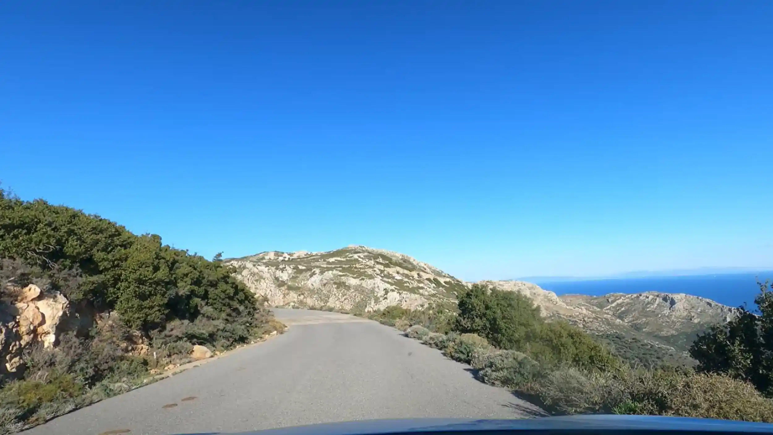
Driving in the Mani Peninsula is the best way to explore its mountain villages, dramatic coastline and remote beaches, but the narrow roads, tight bends and slower journey times mean planning ahead makes a significant difference.
A rental car is the only realistic way to see the peninsula properly. Bus routes reach Kardamyli and Areopoli but stop there. Everything south, and most of what matters, requires your own transport.
🛣️ Why the Mani Drives Differently From the Rest of Greece
The first surprise isn’t the scenery.
It’s how slowly the kilometres disappear.
Although distances across the Mani Peninsula look modest on a map, journey times are consistently longer than visitors expect. Roads twist around mountains, pass directly through villages and follow the contours of the coastline rather than cutting across it. The result is a drive that’s far more enjoyable than it is fast.
Built for Villages, Not Through Traffic
Unlike modern highways, the Mani’s roads evolved to connect isolated communities rather than move large volumes of traffic. Many still follow those original routes, weaving between olive groves, climbing steep hillsides and squeezing through historic settlements where parked cars often reduce the road to a single usable lane.
The pace naturally slows.
Why Navigation Apps Get It Wrong
Journey planners calculate distance well but often underestimate the reality of driving here.
Hairpin bends, slow-moving agricultural vehicles, photo stops and narrow village streets all add time that digital maps struggle to predict accurately.
| Route Characteristic | What It Means |
|---|---|
| ⛰️ Frequent bends | Lower average speeds |
| 🏘️ Village centres | Narrow roads and occasional waiting |
| 📸 Coastal viewpoints | Regular photo stops |
| 🐐 Rural traffic | Expect tractors, goats and local vehicles |
Rather than trying to cover as much ground as possible, treat the drive as part of the experience. Many of the peninsula’s best viewpoints appear between destinations rather than at them.
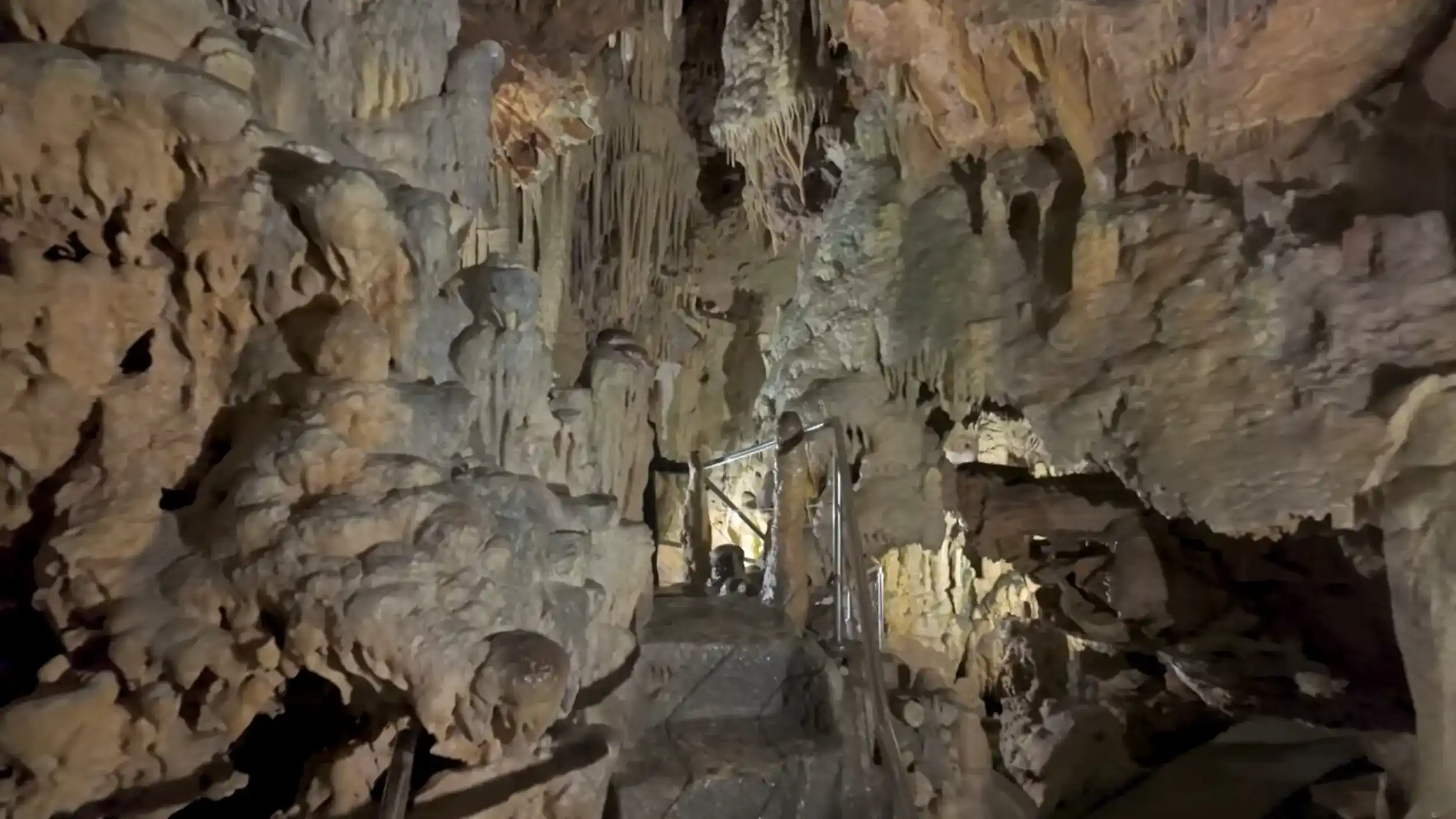
Before planning a day around fixed entry times, remember that journeys in the Deep Mani nearly always take longer than expected. That matters most if you’re visiting the Diros Caves, where arriving early can significantly reduce queue times.
⛰️ Mountain Roads and Hairpin Turns
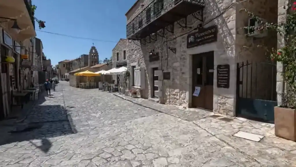
The mountain roads are where the Mani demands your full attention.
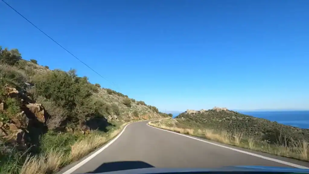
They’re not dangerous when driven sensibly, but they are narrower, steeper and more winding than many visitors expect. The further you travel into the Deep Mani, the more the roads follow the contours of the landscape rather than trying to reshape it.
Main Roads Versus Village Lanes
The principal route south from Areopoli is generally well surfaced and suitable for any standard hire car. Side roads, however, tell a different story. They climb towards isolated tower villages, narrow considerably and often leave very little room for passing traffic.
Places such as Vathia and Lagia are beautiful precisely because modern roads never fully altered their setting.
Expect Hairpins to Arrive Quickly
Long straights are rare.
Instead, the route alternates between short climbs, tight bends and occasional viewpoints where it’s worth pulling over safely rather than trying to admire the scenery while driving.
The most demanding sections usually involve:
- ↩️ Frequent hairpin bends
- 🪨 Narrow cliffside roads
- 🚜 Slow agricultural vehicles
- 🏘️ Tight village streets
- 🐐 Occasional livestock on the road
When to Slow Down Even More
Summer brings additional traffic from hire cars, campervans and motorcyclists, while winter storms can occasionally leave loose stones or minor rockfalls on exposed sections.
Most local drivers simply reduce their speed, allow oncoming vehicles through and continue without fuss. Adopting the same relaxed approach makes driving here far more enjoyable than trying to maintain the pace you’d expect elsewhere.
Helpful tip: If a village looks easier to explore on foot than by car, it probably is. Parking outside the historic centre often saves both time and stress.
🌅 Coastal Roads and What They Offer
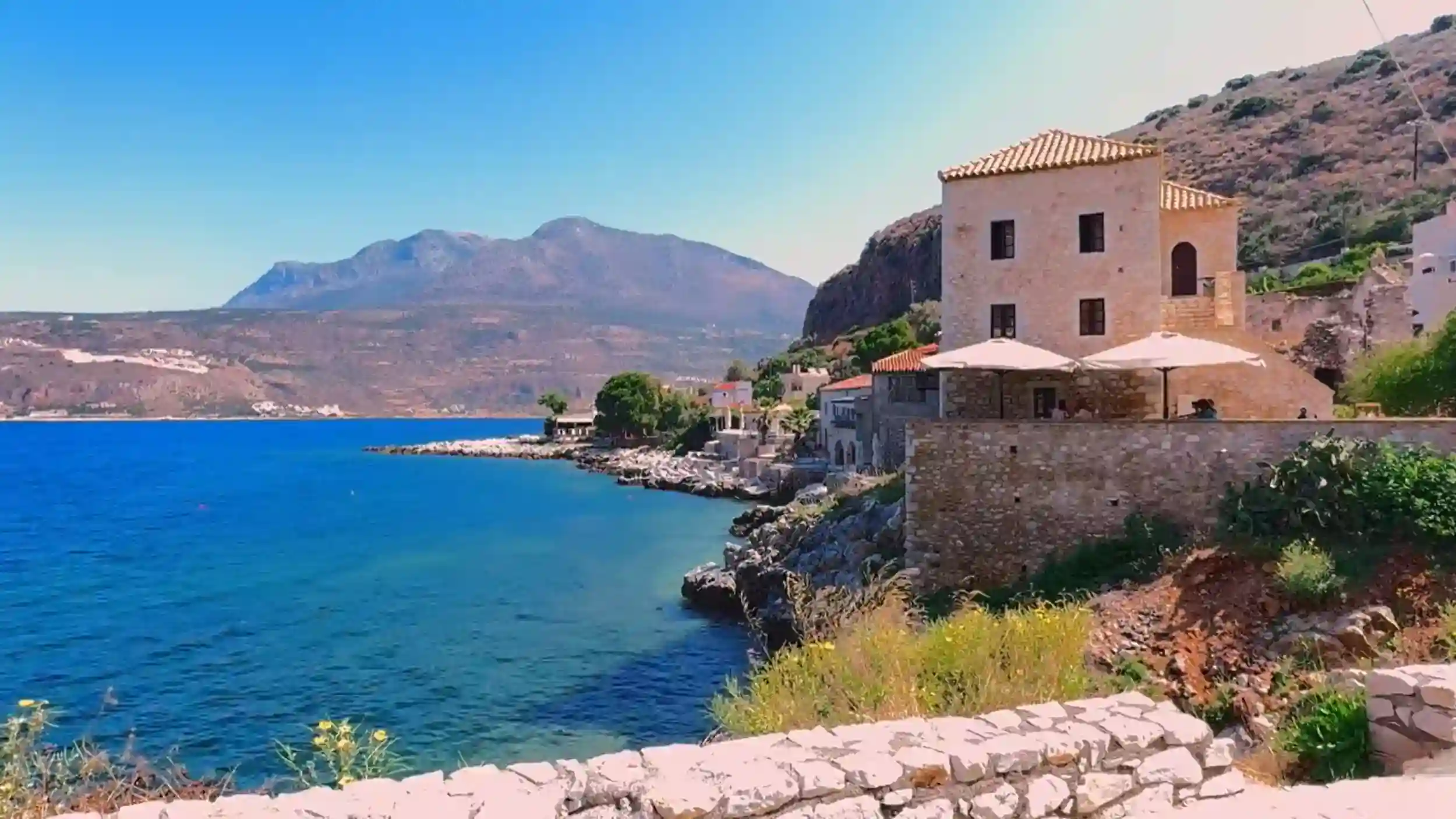
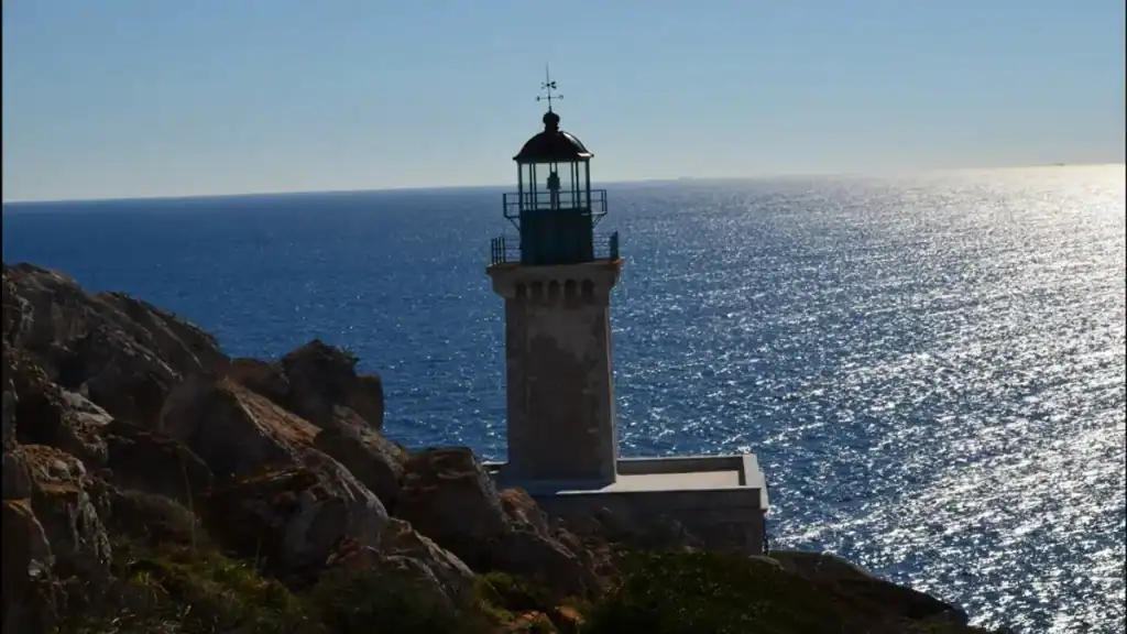
Driving along the coast is one of the highlights of visiting the Mani Peninsula.
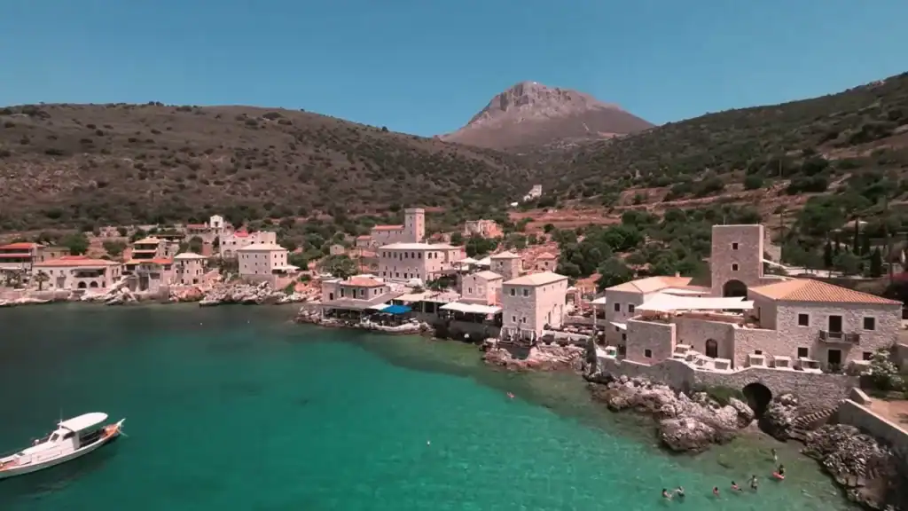
The scenery changes constantly. Olive groves give way to rocky headlands, small fishing villages appear around unexpected bends and wide sea views often tempt you to stop far more frequently than you planned.
It’s a route best enjoyed without rushing.
The Western Coast
The road between Kardamyli and Areopoli is the peninsula’s classic coastal drive.
It follows the hillside above the Messinian Gulf, passing through traditional villages and offering frequent viewpoints across the water. While the road is generally in good condition, many viewpoints are reached via informal pull-offs rather than designated parking areas, so stop only where it’s safe to do so.
The Eastern Coast
Fewer visitors explore the eastern shoreline, yet many regard it as the more atmospheric drive.
The roads are quieter, the coastline feels more rugged and villages are further apart. Rather than busy beaches, you’ll find secluded bays, dramatic cliffs and long stretches where the sea seems to belong entirely to you.
| Route | Highlights |
|---|---|
| 🌊 Western Coast | Kardamyli, Stoupa, Limeni and panoramic sea views |
| 🪨 Eastern Coast | Quiet roads, hidden bays and dramatic scenery |
| 📷 Southern Tip | Cape Tainaron and remote coastal landscapes |
One of the pleasures of driving here is that the journey never feels repetitive. Every section has its own character, whether you’re following the coast closely or climbing briefly inland before the road returns to the sea.
💡 Scenic detour: Travellers planning to stop for a swim along the way will find several worthwhile suggestions in Mani Peninsula Beaches: Where People Actually Go, particularly if you’re exploring the quieter coves beyond Areopoli.
🇬🇷 Greek Driving Culture and What to Expect From Other Drivers
Driving in Greece is often more relaxed than first-time visitors expect.
Local drivers know these roads well and generally adapt to their limitations rather than trying to force the pace. On the Mani Peninsula, cooperation matters far more than speed, particularly where narrow lanes leave room for only one vehicle at a time.
Sharing the Road
Meeting an oncoming car on a narrow village street is perfectly normal.
Rather than insisting on priority, drivers usually stop, identify the easiest place to pass and continue with a wave or a nod. It becomes surprisingly natural after the first few encounters.
Using the horn can also be different from what many visitors are used to. Around blind bends it often acts as a simple warning that a vehicle is approaching, not as a sign of frustration.
The golden rule: Stay calm, drive slowly and don’t be afraid to stop if another vehicle has the better passing place.
Night Driving
Driving after dark is certainly possible, but it deserves extra care.
Some rural roads have little or no street lighting, road markings can be faint and occasional livestock may wander onto the carriageway. If it’s your first visit to the Mani, you’ll probably enjoy the daytime scenery far more anyway.
A few practical reminders:
- 📱 Don’t use a handheld mobile phone while driving.
- 🍷 Drink-driving laws are strictly enforced.
- 🪪 Carry your driving licence and rental documents.
- 🚘 Expect local drivers to know the roads far better than you do.
📌 Planning ahead? If you’re visiting outside the busiest months, The Mani Peninsula in Autumn: Empty Roads and the Return of Rain explains how quieter roads and changing weather alter the driving experience compared with the height of summer.
🚗 Renting a Car in Greece
Most visitors collect their hire car before they ever reach the Mani Peninsula.
Kalamata Airport is the closest and most convenient collection point, although many travellers also begin in Athens before driving south through the Peloponnese. Both options work well, but booking early during summer gives you the widest choice of vehicles and prices.
Where to Collect Your Car
For most itineraries, Kalamata offers the quickest start.
The airport is around two hours from Areopoli, allowing you to reach the peninsula without an unnecessarily long first day on the road. Athens remains a good alternative if you’re planning a broader Peloponnese road trip.
Before You Sign the Agreement
Rental companies vary, but it’s worth checking a few details before leaving the desk.
| Check | Why It Matters |
|---|---|
| 📋 Insurance cover | Confirm what’s included on rural roads |
| ⛽ Fuel policy | Full-to-full is usually simplest |
| 📱 Navigation | Offline maps are often more reliable |
| 🛞 Tyres | Check their condition before departure |
Some viewpoints, beaches and villages are reached by short unpaved sections. They’re generally manageable in a normal hire car, but reading the insurance exclusions beforehand avoids unpleasant surprises if minor damage occurs.
Worth considering
If you’re planning to visit during the busiest months, vehicle availability around Kalamata becomes noticeably tighter. Booking several weeks ahead usually results in lower prices and a better choice of cars.
🚙 What Size Car to Rent
Smaller is usually better.
The Mani Peninsula’s roads were never designed for large vehicles, and you’ll appreciate a compact car every time you pass through a stone village, negotiate a tight hairpin or look for parking beside a harbour.
Compact Cars Make Everyday Driving Easier
A small hatchback is the best all-round choice for most visitors.
It’s easier to position on narrow roads, simpler to park and far less stressful when meeting oncoming traffic on single-lane village streets. Unless you need extra luggage space, there’s very little advantage in hiring a larger vehicle.
Do You Need an SUV?
Usually not.
The main roads across the Mani are paved and in generally good condition. While a few beaches and viewpoints are reached via uneven tracks, they’re rarely difficult enough to justify four-wheel drive during normal weather conditions.
If your itinerary includes remote coves or hilltop villages, ground clearance can be useful, but it isn’t essential.
| Vehicle Type | Recommendation |
|---|---|
| 🚗 Compact hatchback | ⭐ Best choice for most visitors |
| 🚙 Small SUV | Good if you want extra clearance |
| 🚐 Large campervan | Suitable only for main routes |
| 🏎️ Low sports car | Least practical on rural roads |
Think Beyond the Main Roads
The best experiences in the Mani often begin after you’ve parked.
Whether you’re walking into Vathia, exploring a quiet harbour or following a short trail to a hidden beach, you’ll often leave the car behind for the final stretch. Choosing a vehicle that’s easy to drive and easy to park makes those moments far more enjoyable than hiring something larger simply because it feels more comfortable.
📍 Next stop: Once you’ve chosen your vehicle, Visiting the Mani Peninsula: How Much Time Do You Really Need? helps you plan realistic driving days, while The Mani Peninsula in Spring: Fewer Crowds and Softer Light shows why many travellers consider spring the easiest season for exploring the peninsula by car.