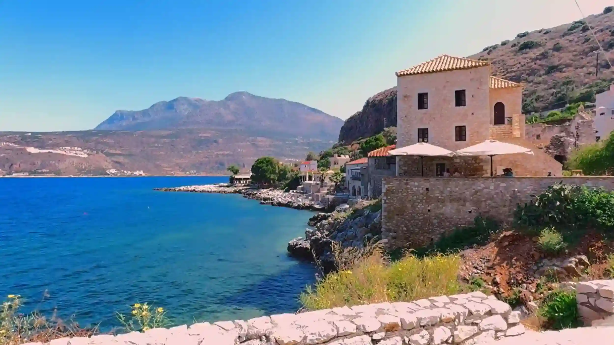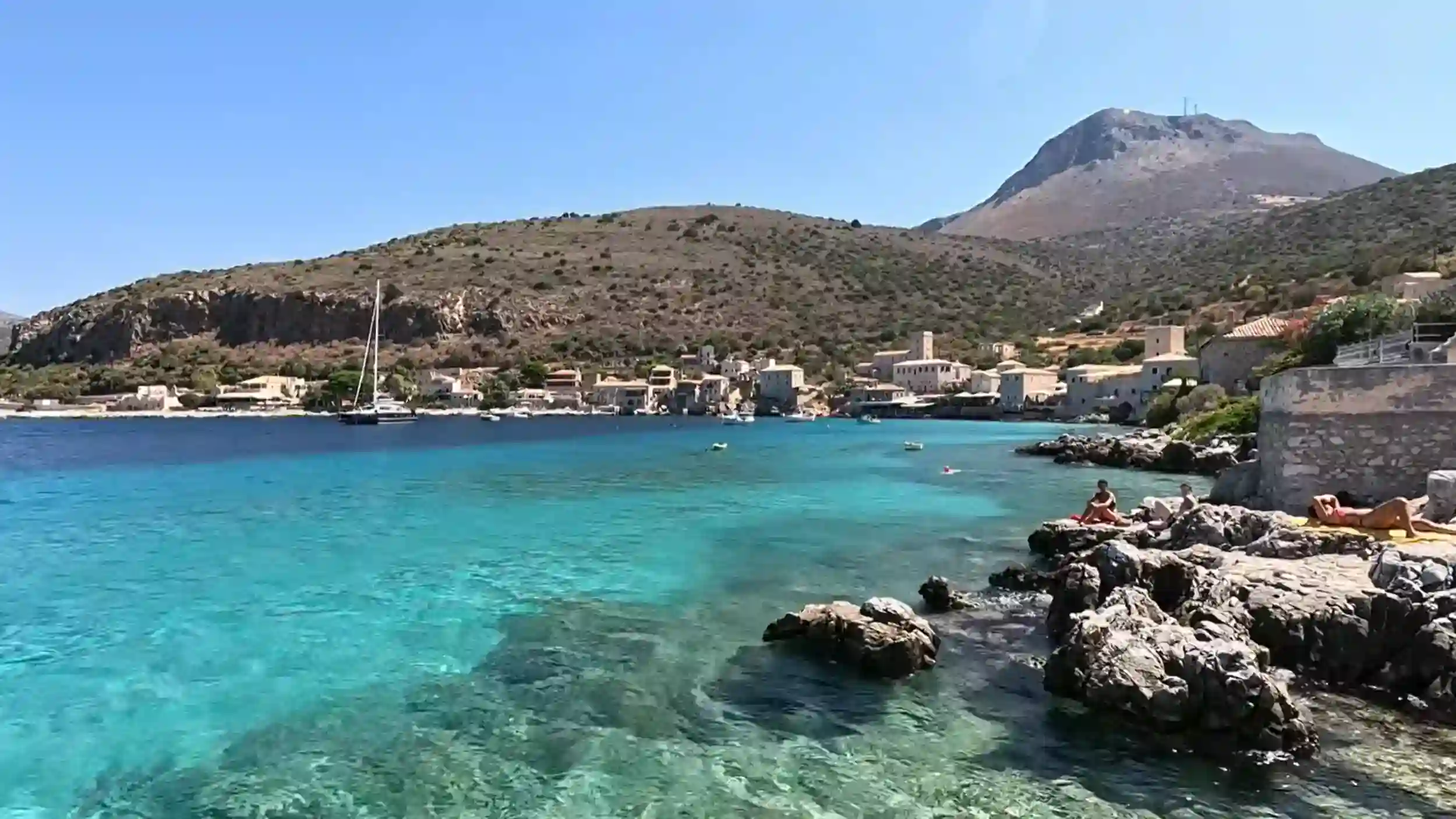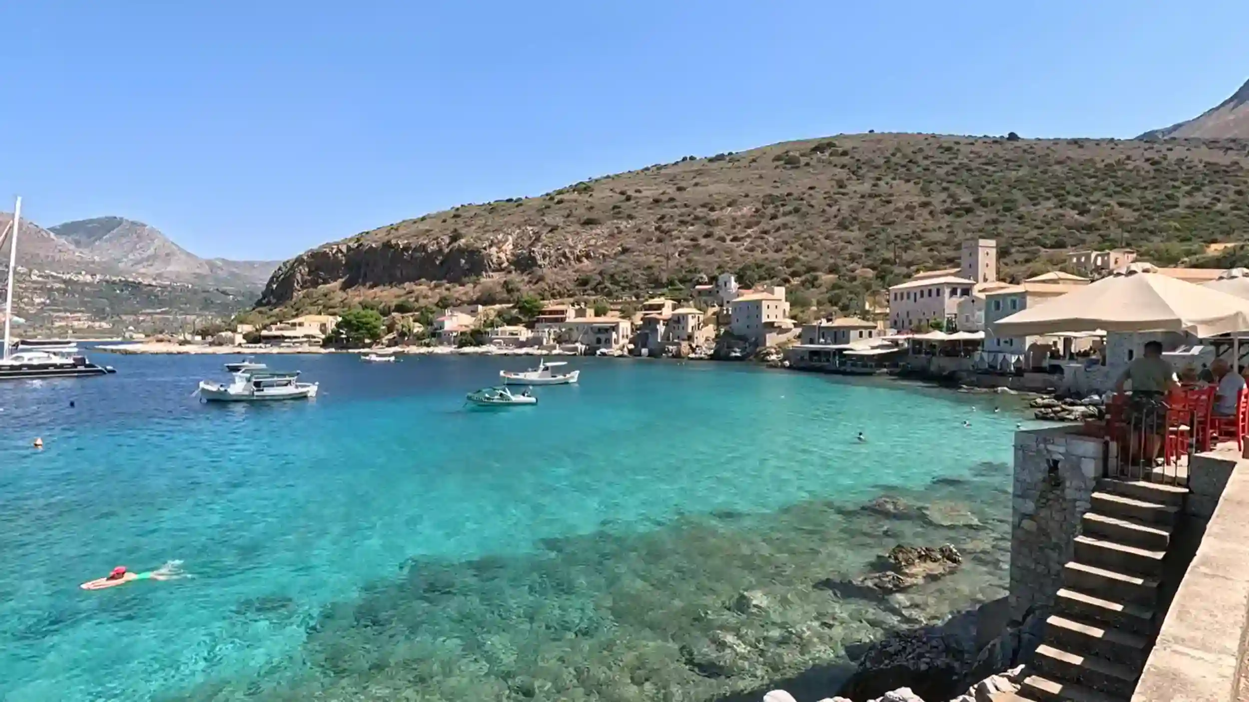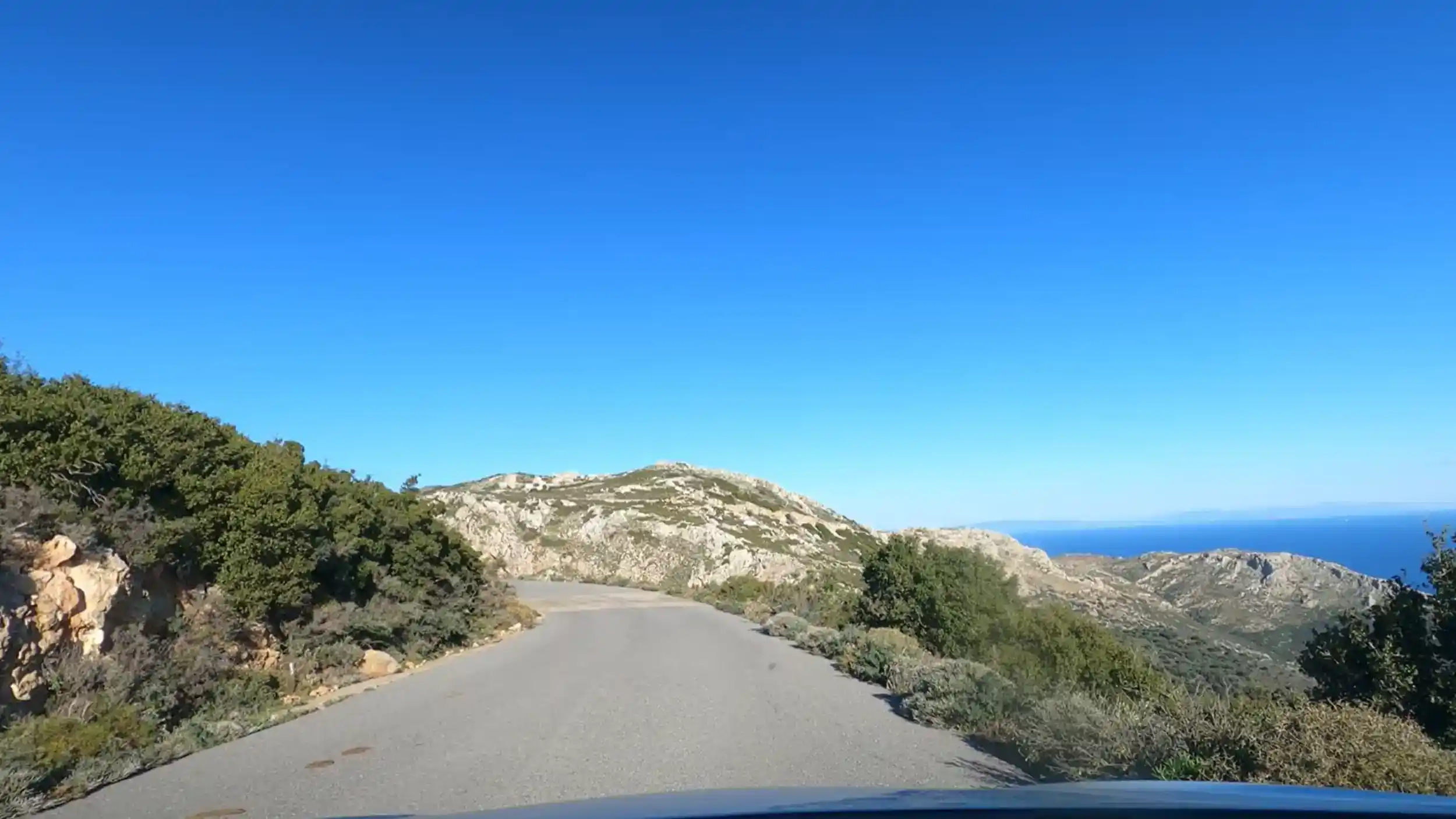
A guide to the Mani Peninsula reveals one of mainland Greece’s most distinctive regions, where fortified stone villages, dramatic coastlines, Byzantine churches and centuries of history combine to create a journey unlike anywhere else in the Peloponnese.
🧭 Inner Mani and Outer Mani: What the Difference Actually Means
Many first-time visitors think the Mani Peninsula is a single destination.
In reality, it feels like two very different regions joined together. The transition isn’t marked by a sign or checkpoint. Instead, the landscape gradually changes until the fertile hills of the north give way to the stark limestone scenery that defines the deep south.
Understanding that contrast helps you plan a much better trip.
Outer Mani
Outer Mani stretches south from Kardamyli towards Areopoli. Olive groves, wild herbs and small coastal villages soften the landscape, while beaches, tavernas and accommodation are easier to find. It’s the more accessible side of the peninsula and an excellent choice for a first visit.
Inner Mani
South of Areopoli, the scenery becomes noticeably harsher. Tower villages rise from bare hillsides, vegetation becomes sparse and settlements grow further apart. The roads are quieter, the coastline feels more remote and tourism all but disappears in places.
| Outer Mani | Inner Mani |
|---|---|
| 🌿 Olive groves and greener hills | 🪨 Rugged limestone landscape |
| 🏖️ More beaches and facilities | 🏰 Tower villages and remote settlements |
| 🍽️ Larger choice of accommodation | 🚗 Longer distances between villages |
| 🚶 Better suited to first-time visitors | 📷 Ideal for history and dramatic scenery |
Neither region is better than the other. Together they create the character that makes the Mani Peninsula unlike anywhere else in Greece. If you’re planning to explore the coastline as well, our guide to The Beaches of the Mani Peninsula explains how the western and eastern shores differ and which areas are best for swimming, scenery and quieter coves.
🏺 The History That Shaped the Place
The Mani Peninsula has always been difficult to control.
Its mountains, rocky coastline and isolated villages created natural defences long before walls or fortifications were built. That geography influenced everything that followed, from local politics to the distinctive tower houses that still dominate many villages today.
A Land That Resisted Outside Rule
For centuries, the Mani remained largely independent of the powers that controlled much of Greece. Ottoman influence reached the peninsula, but the region’s isolated terrain and fiercely independent clans made direct rule both difficult and costly.
That reputation for resistance became part of the Mani’s identity and played an important role during the Greek War of Independence in the early nineteenth century.
History is visible throughout the peninsula.
Tower houses, Byzantine churches and fortified villages aren’t isolated monuments. They’re everyday reminders of how people adapted to life in one of Greece’s most challenging landscapes.
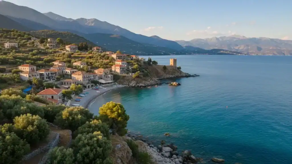
Today, villages such as Vathia, Kastania and Gerolimenas preserve that legacy remarkably well. Walking through them offers a clearer understanding of the Mani than any museum display could provide, because the history remains part of the landscape rather than separated from it.
🌊 The Coastline and the Beaches
The Mani Peninsula doesn’t offer long rows of organised beach resorts.
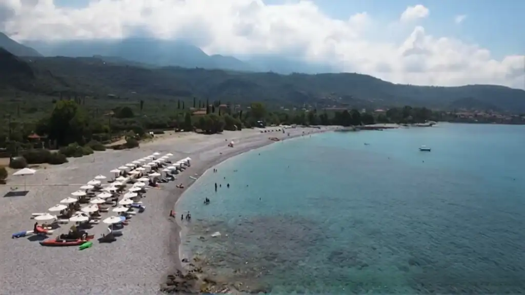
Instead, the coastline is a mixture of sheltered coves, pebble beaches, fishing harbours and dramatic limestone cliffs where the sea is often astonishingly clear. Some beaches are reached in minutes. Others require a short walk or a willingness to leave the main road behind.
That’s part of their appeal.
West Coast or East Coast?
The two sides of the peninsula feel surprisingly different.
The western coast is generally easier to explore, with villages such as Kardamyli, Stoupa and Gerolimenas providing convenient access to swimming, waterfront tavernas and small beaches. The eastern coast is wilder, with steeper cliffs, deeper water and far fewer visitors.
| Western Coast | Eastern Coast |
|---|---|
| 🏖️ Easier beach access | 🌊 Dramatic cliff scenery |
| 🐟 Coastal villages | 🚗 Longer, quieter drives |
| 🍽️ More tavernas | 📷 Remote viewpoints |
| 👨👩👧 Better for relaxed beach days | 🥾 Better for exploration |
Whether you’re looking for an afternoon swim or a full day beside the sea, the Mani rewards travellers who are happy to leave the obvious stops behind.
If beaches are one of your priorities, The Beaches of the Mani Peninsula compares the peninsula’s best swimming spots, quieter coves and coastal villages in much greater detail.
🛶 The Diros Caves
The landscape above ground is dry, rocky and sun-bleached.
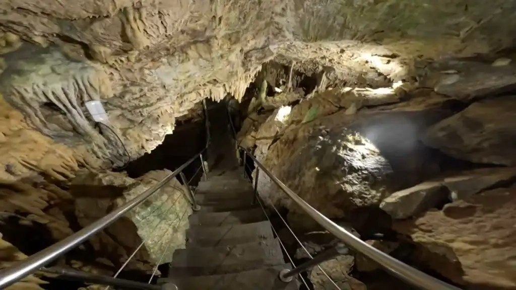
Step into the Diros Caves and everything changes. Temperatures drop, daylight disappears and the journey continues by boat through one of Greece’s most impressive underground cave systems.
It’s an experience that feels completely disconnected from the landscape outside.
What Happens During the Visit?
Visitors board small boats that glide quietly through narrow waterways lined with thousands of stalactites and stalagmites. The reflections on the still water make many of the chambers appear larger than they really are, while the silence underground creates a striking contrast with the exposed coastline above.
The visit lasts around 45 minutes and combines a short walk with the guided boat journey.
Before you visit:
- 🕘 Arrive early during summer
- 🎟️ Tickets can sell out on busy days
- 🧥 The caves remain cool throughout the year
- 📸 Photography is usually possible, but without flash
The Diros Caves are one of the Mani Peninsula’s most popular attractions, yet they never feel disconnected from the wider landscape. The limestone that forms the peninsula above ground continues beneath your feet, creating an underground world every bit as dramatic as the cliffs outside.
For practical advice on tickets, timings and what the boat trip is actually like, The Diros Caves: What the Visit Is Actually Like covers everything you’ll need before you go.
🥾 Walking the Old Stone Trails
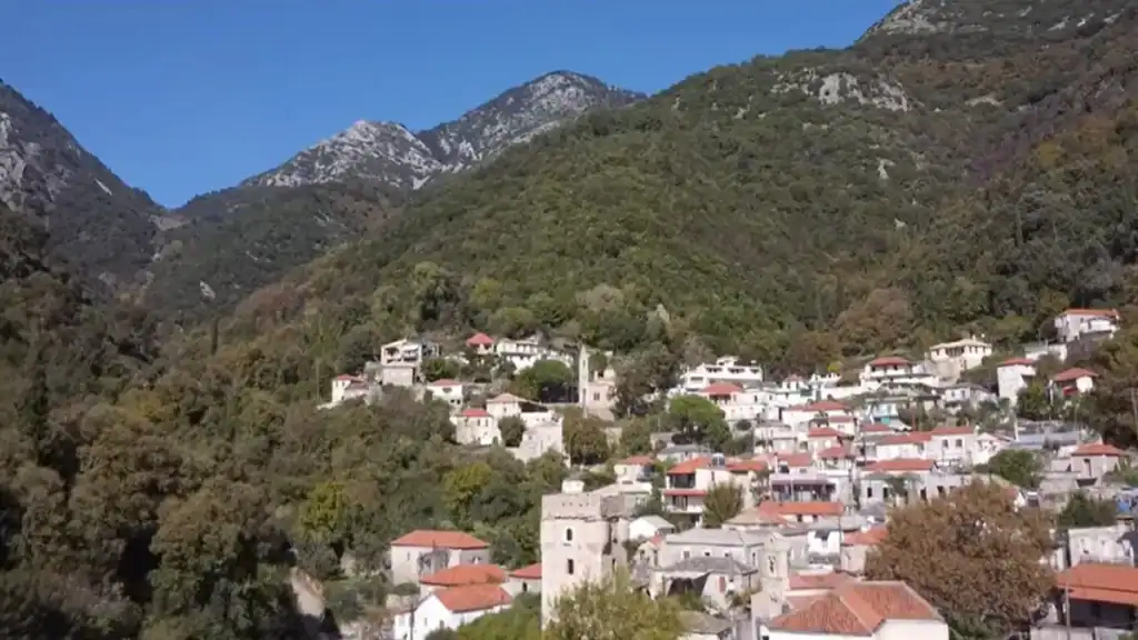
Many of the Mani Peninsula’s most rewarding places aren’t reached by road.
Long before cars arrived, villages were linked by kalderimia, traditional stone mule paths that crossed mountains, descended into gorges and connected isolated settlements. Many of these historic routes are still walkable today.
Some are gentle. Others demand proper preparation.
Trails Worth Considering
| Walk | What Makes It Special |
|---|---|
| 🌄 Vyros Gorge | Limestone scenery and old stone bridges |
| 🏰 Kita to Vathia | Remote tower villages and panoramic ridges |
| ⛪ Kastania paths | Byzantine churches and quiet countryside |
| 🌿 Kardamyli area | Easier walks with coastal and mountain views |
Conditions vary throughout the year. Summer heat can make exposed trails surprisingly demanding, while spring and autumn provide cooler temperatures and clearer visibility. Carry plenty of water, wear supportive footwear and don’t expect frequent cafés or facilities once you’ve left the villages.
One of the pleasures of walking in the Mani is the sense of solitude. It’s entirely possible to spend hours on the old paths without meeting another person, particularly outside the busiest months.
If hiking is one of your main reasons for visiting, Hiking the Mani Peninsula explores the peninsula’s best walking routes in greater detail, including the historic kalderimia, gorge walks and remote ridge trails.
🏘️ Village Life Without the Tourist Apparatus
The Mani doesn’t try to entertain you.
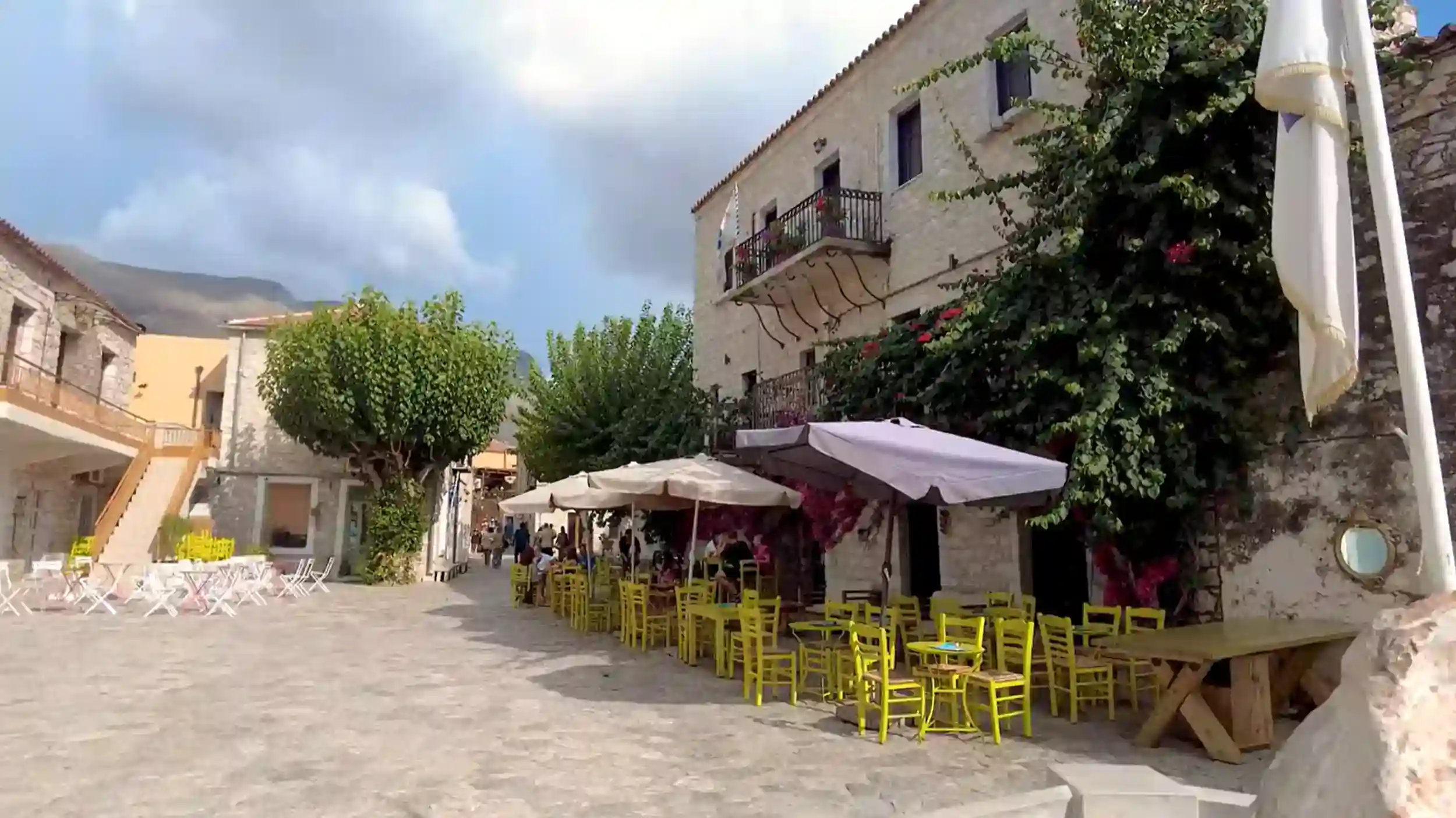
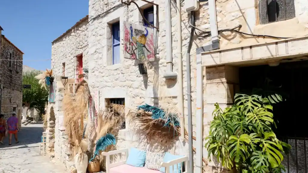
Many villages continue much as they always have, with small squares, stone houses and family-run tavernas forming the centre of daily life rather than attractions designed for visitors. That understated character is one of the peninsula’s greatest strengths.
Life Moves at a Different Pace
Areopoli is usually the liveliest settlement, especially during the evening when cafés and restaurants fill the old streets. It makes an excellent base, but even here the atmosphere remains noticeably calmer than in Greece’s better-known holiday destinations.
Elsewhere, villages such as Kastania, Vathia and Gerolimenas feel quieter still. Some have only a handful of permanent residents, while others become noticeably livelier during the summer before returning to a much slower rhythm in the cooler months.
Don’t expect every taverna or shop to be open every day.
Outside the main season, opening hours often depend on local demand rather than fixed schedules.
The food reflects the landscape just as much as the architecture does. Olive oil, local herbs, fresh vegetables, grilled meats and seafood dominate menus, with recipes changing little from one generation to the next.
For many visitors, it’s this authenticity that becomes the defining memory of the Mani. Rather than feeling like a destination built for tourism, it feels like a place where tourism has simply found its way into everyday village life.
🚗 Getting There, Basing Yourself, and When to Go
The Mani Peninsula rewards travellers who are prepared to explore at its own pace.
Public transport reaches parts of the region, but many of the villages, beaches and historic sites that make the Mani special lie well beyond regular bus routes. Having your own car transforms the experience, allowing you to stop at viewpoints, follow quieter roads and explore places that organised tours rarely visit.
Choosing the Best Base
Your ideal base depends on what you want from the trip.
| Base | Best For |
|---|---|
| 🏖️ Kardamyli | First-time visitors, restaurants and coastal walks |
| 🏛️ Areopoli | Exploring Inner Mani and the Diros Caves |
| 🌊 Gerolimenas | Remote scenery and southern Mani |
| 🐚 Limeni | Waterside accommodation and short stays |
Kardamyli offers the widest choice of accommodation and is well placed for exploring Outer Mani. Areopoli sits closer to the peninsula’s historic tower villages, while Limeni and Gerolimenas appeal to travellers looking for a quieter coastal setting.
When Is the Best Time to Visit?
Spring and autumn are generally the most rewarding seasons. Wildflowers brighten the landscape in April and May, while October combines warm seas with quieter roads and softer light.
Summer suits visitors planning beach holidays but brings higher temperatures and more traffic through the coastal villages. Winter is peaceful, although shorter opening hours and occasional bad weather make planning a little more important.
If you’re driving through the peninsula, Driving in the Mani Peninsula: Roads, Turns, and What to Expect explains what the mountain roads are really like, while The Mani Peninsula in Spring: Fewer Crowds and Softer Light helps you decide whether spring is the best season for your visit.