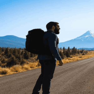
Hiking the Mani Peninsula is not an activity the landscape accommodates. It permits it. That distinction matters once you’re an hour into a kalderimi descent with no shade and a half-empty water bottle.
The trails here are not maintained for visitor comfort. They exist because people once needed them. The gorges don’t announce themselves from the road. The coastal descents are steep and loose. The heat in July restructures every plan made the night before. None of that is a deterrent. It’s a description of the terms. Walkers who arrive knowing the terms tend to find the Mani among the best hiking in the southern Peloponnese. Those who don’t find it harder than expected.
Why the Kalderimi Still Matter
The kalderimi are the historic stone paths connecting villages across the Mani. Many sections date from the Byzantine or Ottoman periods. Some approach several centuries old. The best-preserved sections stop you mid-step. Not because they are picturesque. Because the engineering is serious and the seriousness is visible.
What the Mule Paths Were Built For
These paths carried a population through terrain that offered no easier route. Piracy kept coastal settlements precarious for centuries. Malaria did similar work at lower elevations. The Maniots moved uphill and the kalderimi followed: connecting villages, moving animals, carrying goods between stone towers and mountain villages across ground that cars would never reach.
The paths don’t fight the topography. They read it, then commit. That intelligence is worth paying attention to. Routes avoid south-facing scree on the hottest slopes. They cut through cols at sheltered points. They find water. Walking them slowly, you start to understand the landscape as a problem already solved, centuries before you arrived.
How to Read the Engineering
The kalderimi surfaces vary. Some sections are rough-cut limestone set dry into the hillside. Others are more formal: dressed stone, drainage channels cut into the edge, retaining walls holding the path above a drop. Where the path narrows around a corner on a coastal descent, the wall on the outer edge is always higher. Someone built that wall knowing the consequence of getting it wrong.
Terraced walls alongside the paths indicate former cultivation areas, usually associated with water nearby. Tower houses set apart from other buildings reflect defensive positioning or land control, consistent with the Mani’s history of clan conflict. The direction a path curves on a hillside usually encodes something about wind or a spring long since dried. Walking the kalderimi with attention changes the route. Same distance. Different weight.
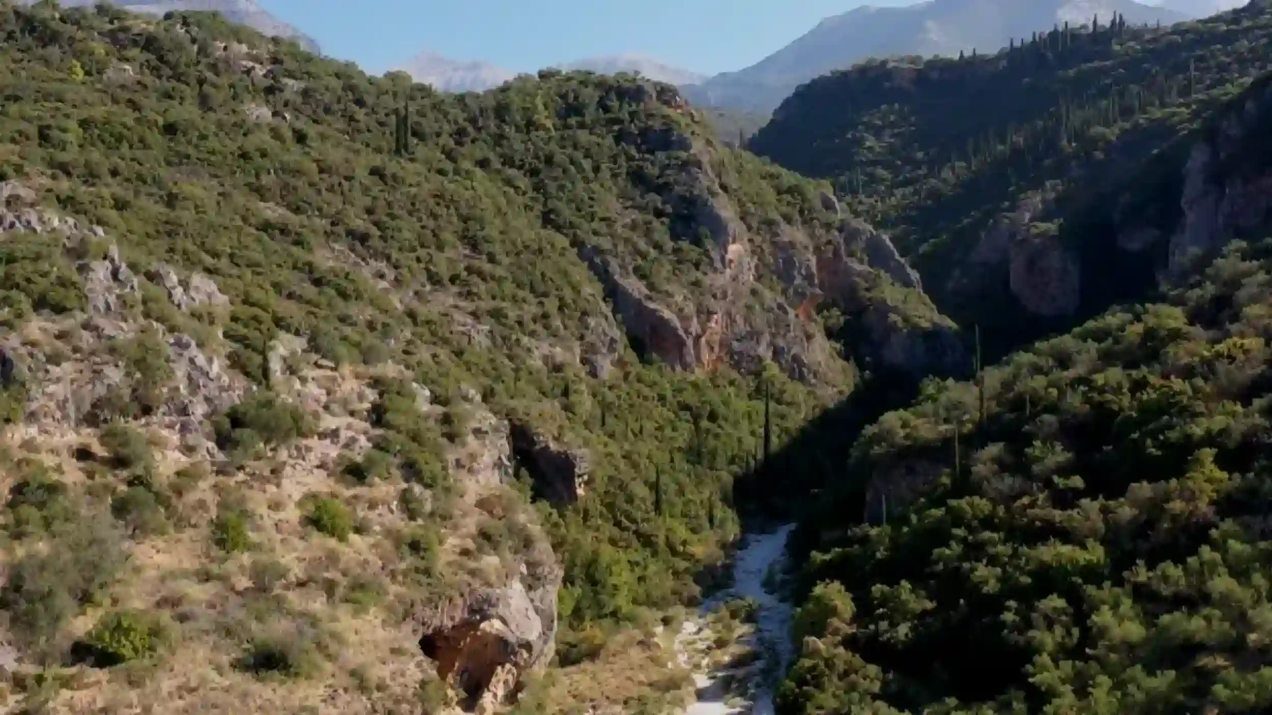
The Gorge Routes
The gorges cutting through the Mani’s limestone spine don’t announce themselves. No signboards, no car parks, often no indication from the road that anything significant lies below. Most visitors drive past. The ones who stop are usually already committed to looking.
Vyros Gorge Near Kardamyli
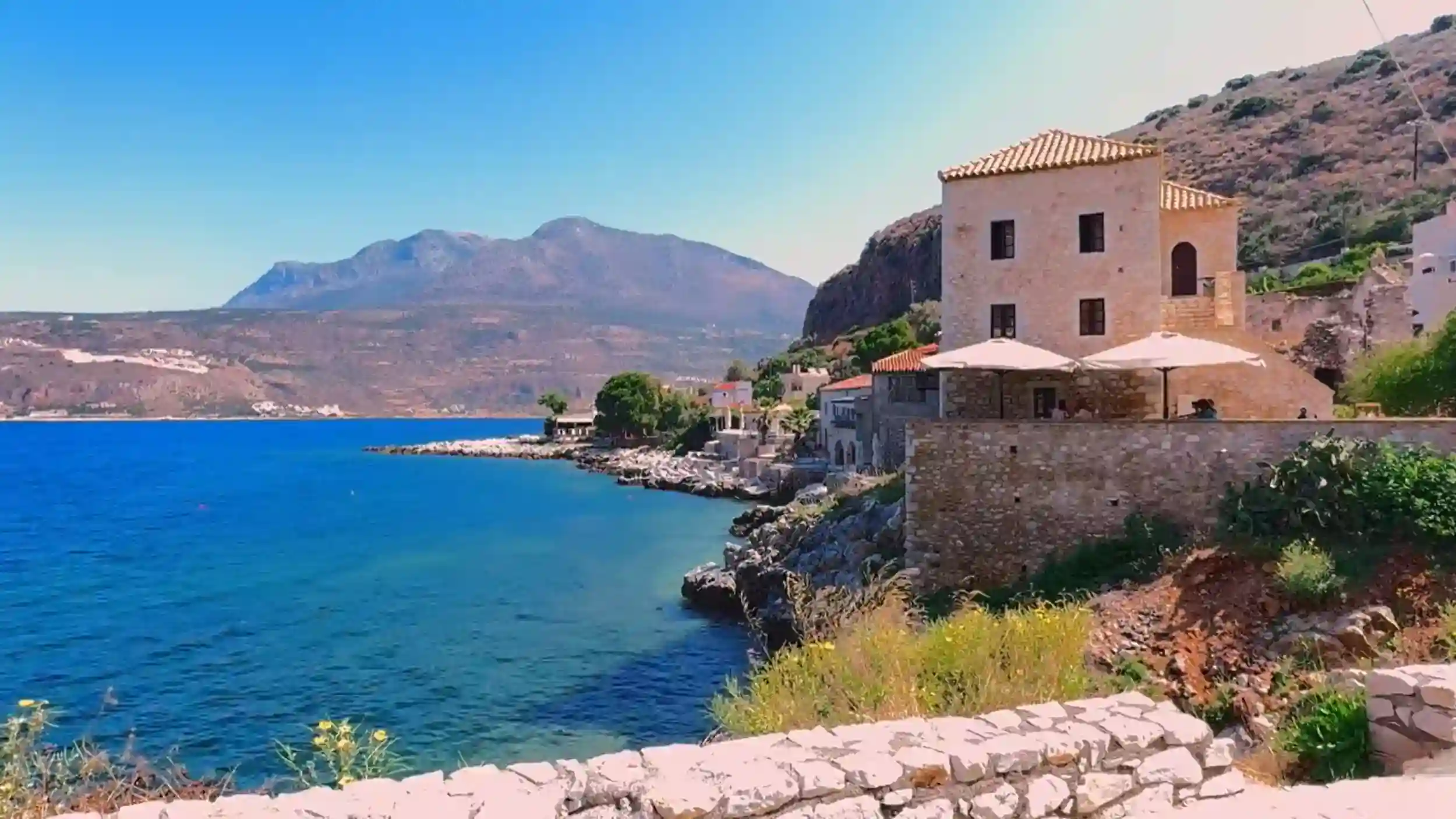
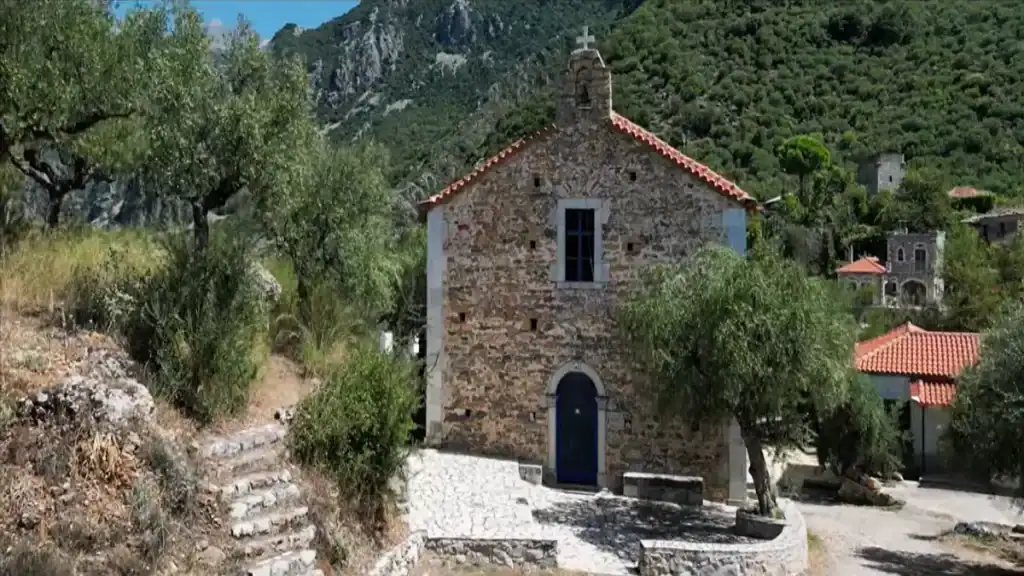
Vyros Gorge is the most accessible dramatic gorge route on the peninsula. It starts above Kardamyli and descends through dense vegetation and limestone walls toward the sea. The gorge floor follows a seasonal streambed. In spring, water runs through sections of the canyon. By summer it has usually retreated, leaving dry rock and cool shade.
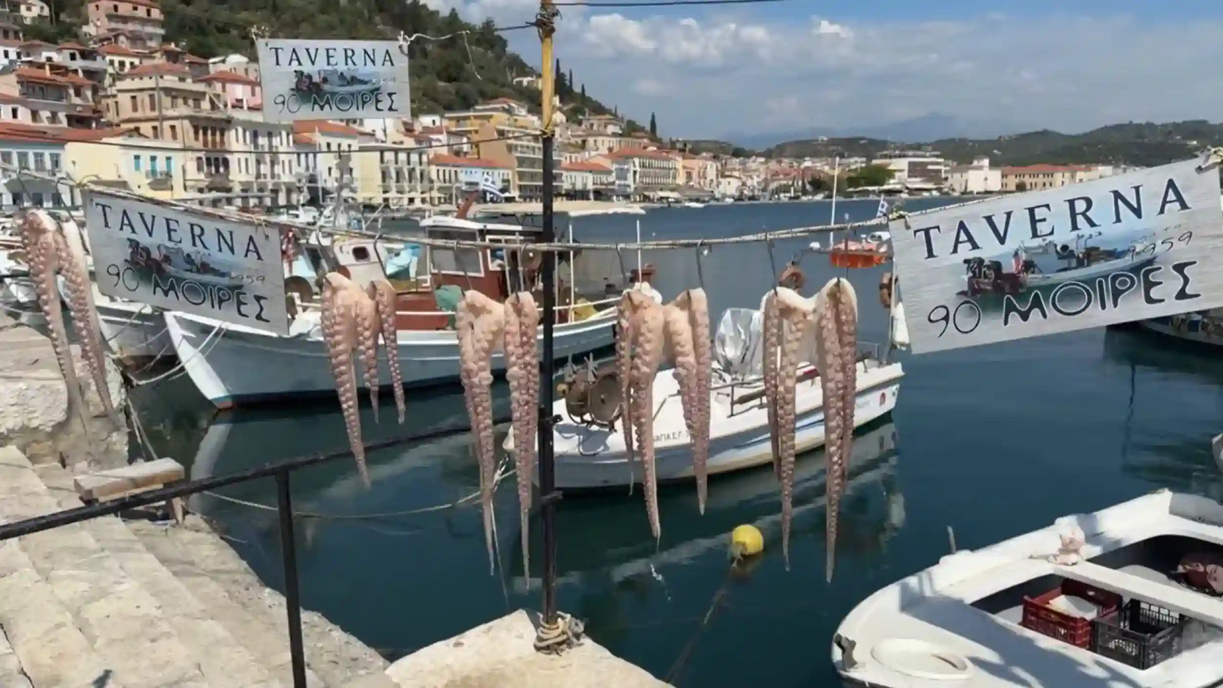
The village of Exochori sits above the gorge on the eastern side. Most walkers begin there or at Kardamyli itself and follow the kalderimi down. Stone bridges cross the streambed at several points. The walls close in toward the lower sections. Byzantine churches appear on ledges above the path, some with doors left open, some locked. The route ends near the coast, close enough to Stoupa and Agios Nikolaos to make a taverna lunch a realistic conclusion to the walk.
The Vyros is well-marked by Mani standards. That means intermittent red paint on rocks and occasional cairns. It does not mean you will never lose the path. Carry the Anavasi map. Check it at junctions.
The Western Ravines Toward the Messenian Coast
The ravines descending west toward the Messenian gulf are less visited than Vyros. They are narrower, often shaded in the morning, and require more careful navigation. Some paths follow dry streambeds through deep gorges where the silence feels geological rather than merely quiet.
Getting in requires commitment. The descents are steep and loose in sections. The return is always uphill, always hotter than the descent. Several approach routes start from villages with no reliable water at the trailhead. You carry what you need or you reconsider. That is not a warning. It is a description of the terms.
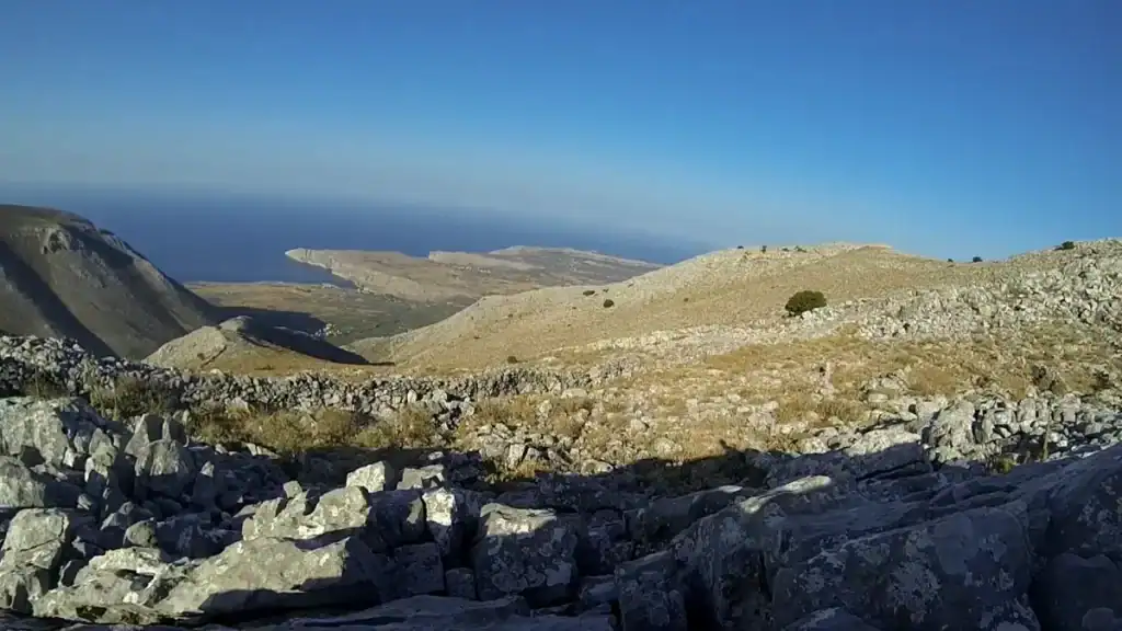
Coastal Paths and Descents to Hidden Coves
The Mani’s coastline is not easy to reach on foot. That is exactly why parts of it remain on serious topographic maps and nowhere else. The Anavasi 1:30,000 series covers the southern Peloponnese in detail, including paths to isolated coves that no travel guide lists.
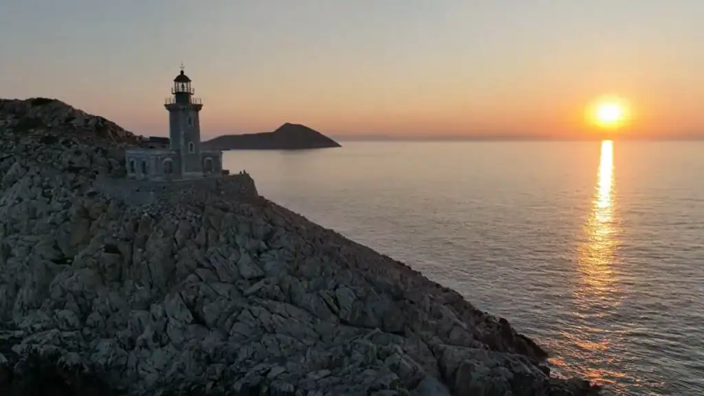
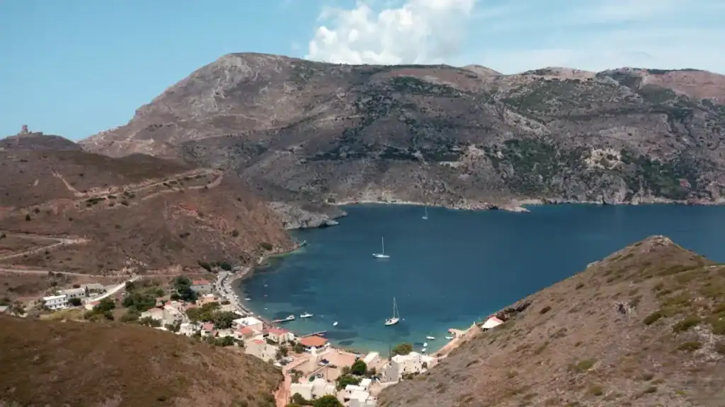
The Cape Tenaro Approach From Porto Kagio
The path from Porto Kagio to Cape Tenaro is the most-walked route on the peninsula. It remains a fine walk. The cape sits at the southernmost point of mainland Greece. The lighthouse there changes how the return journey feels. Ancient ruins near the tip mark the site associated in Greek mythology with the entrance to the underworld. On a clear day the Ionian and Aegean seas are both visible from the headland.
The path itself is straightforward. Rocky in places, exposed to sun for most of its length, but well-defined and without serious navigation challenges. Solitude is not what it offers. Come early or accept company.
The Western Coast Descents
The side routes branching from the main coastal path toward water on the western side are a different matter. Some require scrambling. All require the understanding that a twisted ankle here is a serious problem. The coves at the bottom are stony and small. No facilities, no shade. The water is an implausible blue. You swim, eat whatever you carried, and face the climb back. These places exist on their own terms. Nobody made them convenient for visitors.
What the Heat Does to a Walking Day
By ten in the morning on an exposed Mani ridge in July, the rock is already radiating. By noon, continuing on open ground is not heroic. It is poor planning. The heat restructures the day entirely. Start before seven or start wrong.
Start Times and the Middle Hours
Exposed terrain needs to be behind you by midday. What follows is a long still middle: shade, food, horizontal, before movement becomes sensible again in the late afternoon. This is not a failure of fitness. It is the same adaptation the people who built these paths made for centuries. The kalderimi themselves reflect it, preferring olive grove shadow and canyon routes over open ridge, because those routes stayed walkable through the middle of the day.
Spring and autumn change the calculation. April walking in the Mani is genuinely different from July. The gorges retain cool air longer. The coastal paths are walkable through more of the day. The weather conditions in March and April can include rain and cold nights at altitude above Platsa and Exochori. Check before committing to a high ridge camp in early spring.
Water Management on the Deep Mani Trails
Bring plenty of water. More than you expect to need. Fill every container at every source you pass. If the previous night’s accommodation had a freezer, freeze a bottle alongside liquid water. Cold water stays available well into the afternoon that way.
On the Mani this matters acutely. Springs marked on older maps are not reliable in summer. Dry riverbeds that appear to have had recent flow may have been dry since April. Villages in the deep Mani are often too small to have a shop. Plan for scarcity. The landscape carries no obligation to provide.
Gear That Changes the Experience
Pack weight on the Mani is not a comfort issue. It is a safety calculation. On coastal descents requiring free hands for balance, a heavy pack changes the geometry of the walk in ways that matter.
Pack Weight and Clothing
Aim for 45 to 65 litres and nothing inside that you don’t genuinely intend to use. Ruthlessness before you leave beats regret by day three.
Long trousers and long sleeves are not optional. The phrygana, the dense thorny scrub covering much of the peninsula’s slopes, is relentless. Lightweight hiking trousers take up negligible weight and remove a persistent source of misery on overgrown sections. Exposed skin in Mani scrub is a mistake you make once.
Footwear matters more than almost anything else. The kalderimi are not soft surfaces. Worn-out trail runners or anything without genuine ankle support make rocky descents significantly more dangerous than they need to be. This is not technical terrain. But it does not forgive casual choices over a long day.
Navigation: Maps Versus Apps
The Anavasi maps are the reliable baseline for hiking the Mani Peninsula. GPS tracks downloaded from aggregator apps are inconsistent. Some show routes impassable for years. Others omit paths clearly still in use. Carry both. Trust the map when the two disagree. That is not conservatism. It is experience.
Some local shepherds still use historic paths in the Mani, including higher interior areas above Kotronas. They know the routes better than any map does. At junctions where trail marking contradicts itself or simply stops, a local guide or shepherd is more reliable than GPS. Their relationship to the landscape is entirely functional. Follow it.
Trail Segments Ranked by Solitude
Not all Mani hiking trails offer the same degree of quiet. Some are genuinely remote. Others are well-known enough to see regular traffic in peak season. The distinction matters if solitude is what you came for.
The Kita to Vathia Ridge
The ridge walk between Kita and Vathia, staying on the kalderimi rather than the road, is considerably quieter than the Cape Tenaro approach. The path crosses terrain that feels genuinely uninhabited. Tower houses appear and disappear as the ridge curves. Views open east to the sea and west toward the Messinian gulf. On a weekday in shoulder season you may walk the full section without meeting another person. That is not a guarantee. It is a reasonable expectation.
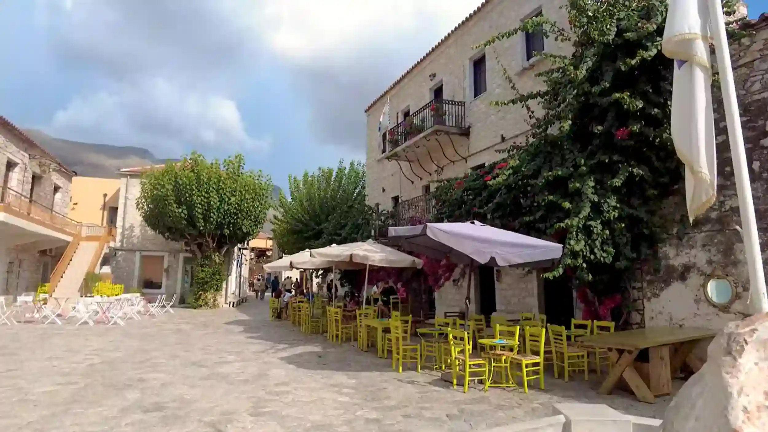
The stone towers of Vathia rise into view from the final section of the ridge path. The village looks more like itself approached on foot than by road. The lanes between the towers are narrow. The place feels like trespass rather than arrival. That quality is part of the point.
The Gorge Routes Above Stavri
The gorge routes descending toward the western coast from above Stavri offer the deepest solitude the Mani provides. These paths are not consistently marked and not consistently maintained. Most walkers avoid them for that reason.
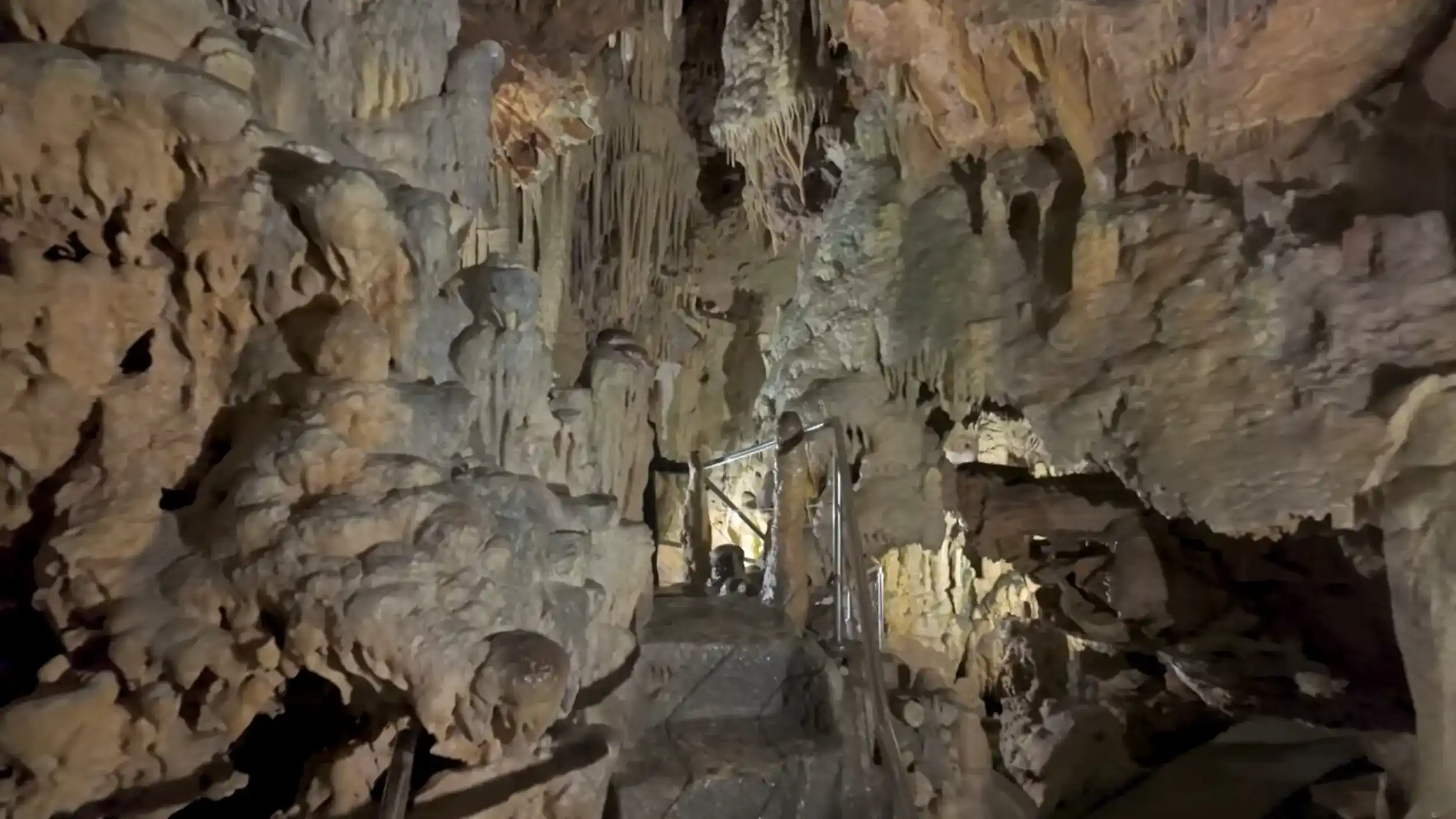
The ones who don’t find sections where the stone underfoot has not carried human weight in a long time. The path is still entirely itself. Entirely unconcerned with being found. Byzantine churches appear on ledges above the canyon. Ancient ruins sit in the scrub beside the trail with no signage and no fencing. The rich history of the deep Mani is more present here, without interpretation, than at any curated archaeological site.
The landscape’s indifference is not hostility. The paths exist because people once needed them. Not because anyone thought you would come looking. That distinction matters more than it sounds like it should.
Learn More:
Why the Mani Peninsula Feels Different to the Rest of Greece
Driving in the Mani Peninsula: Roads, Turns, and What to Expect
Peace and Quiet in the Mani Peninsula: Is It Really That Empty?
The Mani Peninsula in Spring: Fewer Crowds and Softer Light