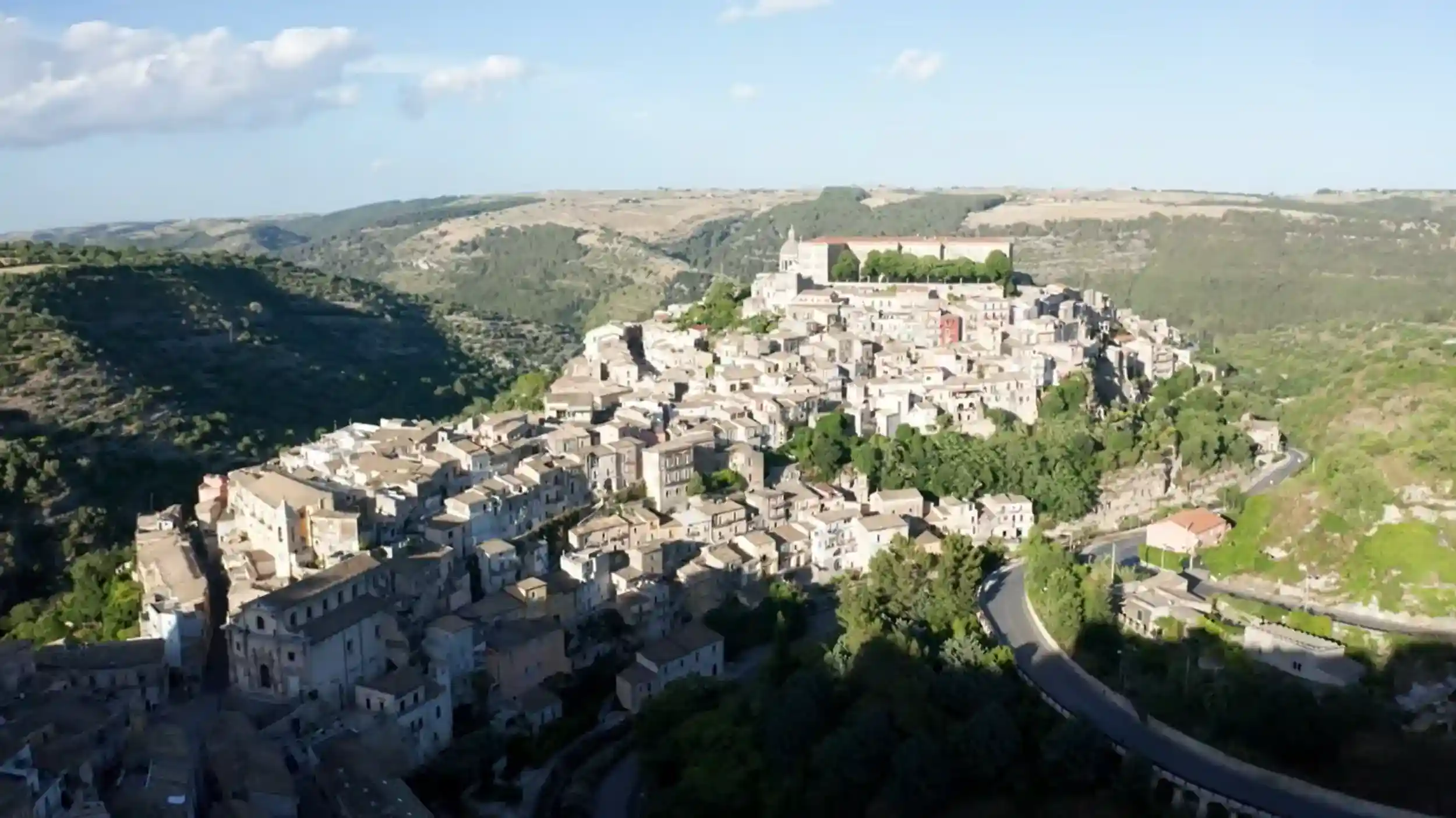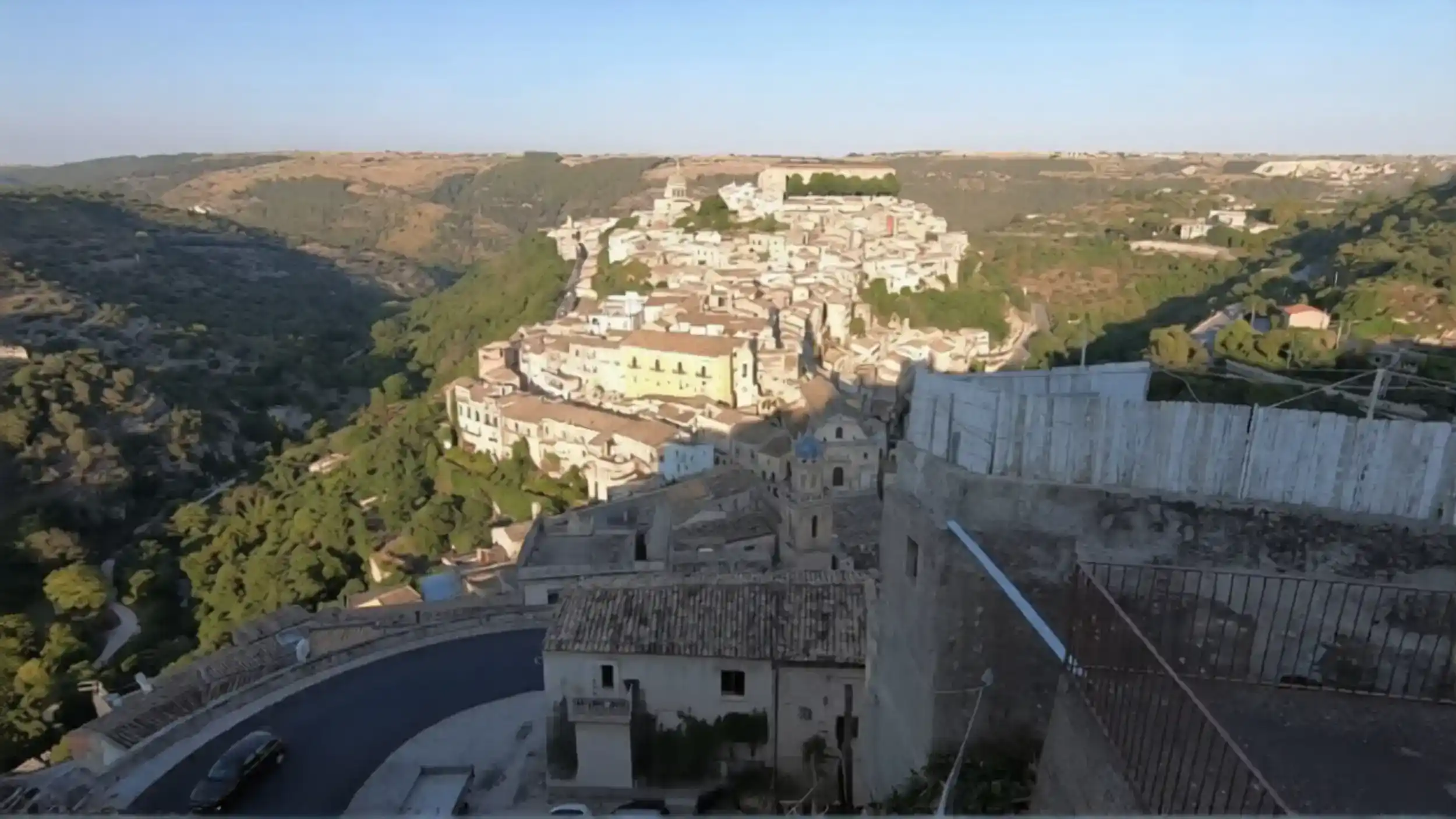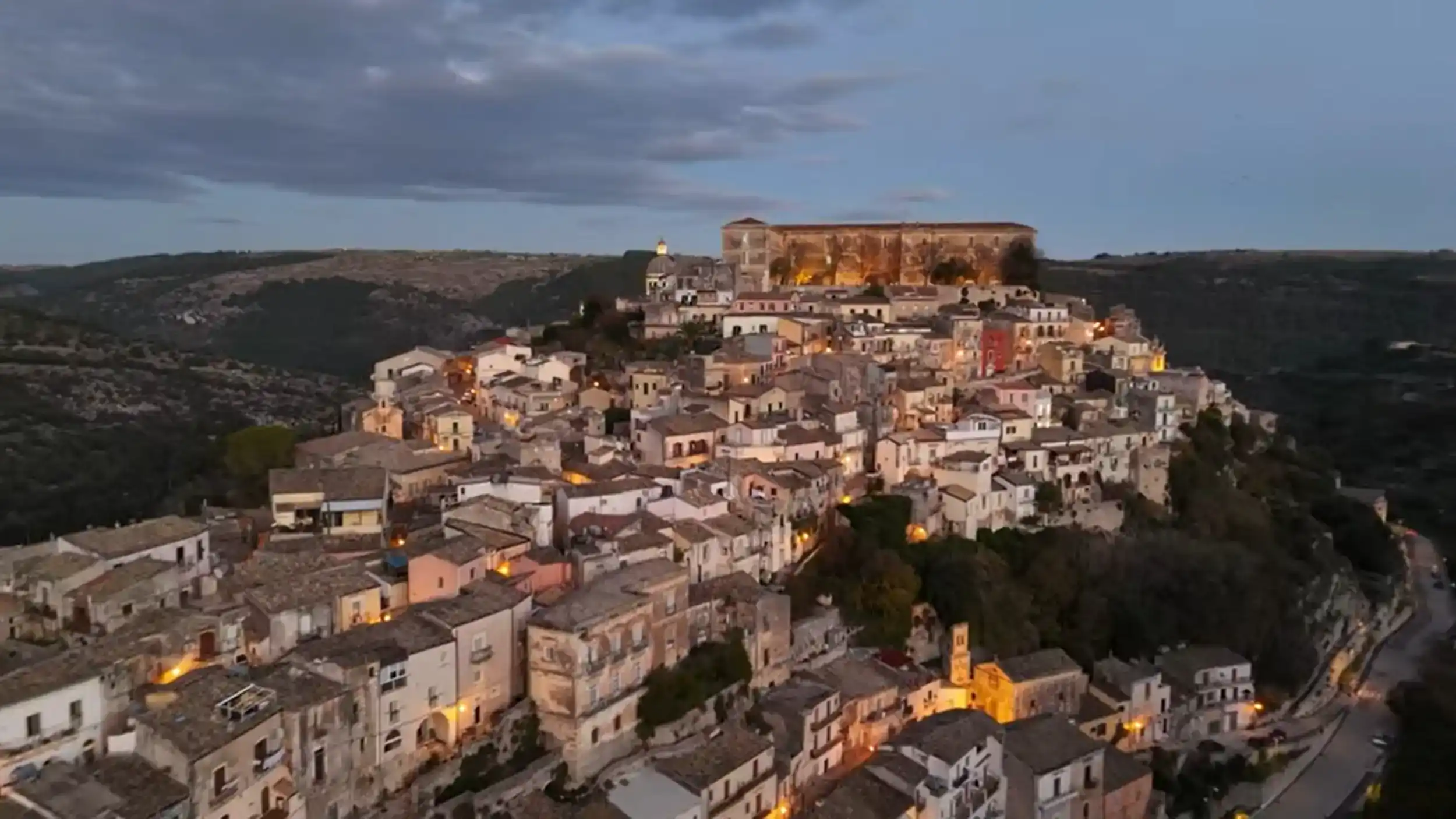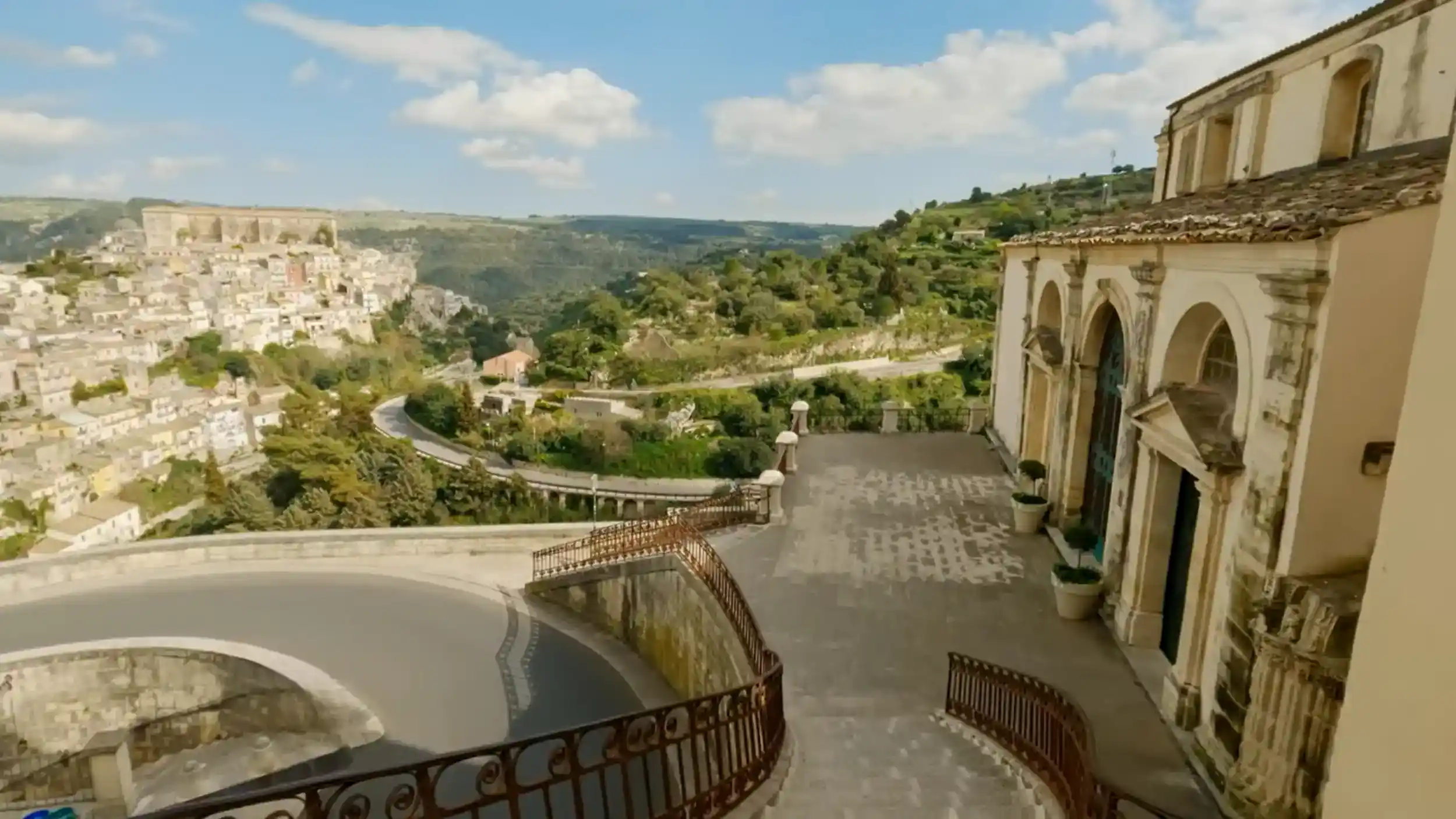
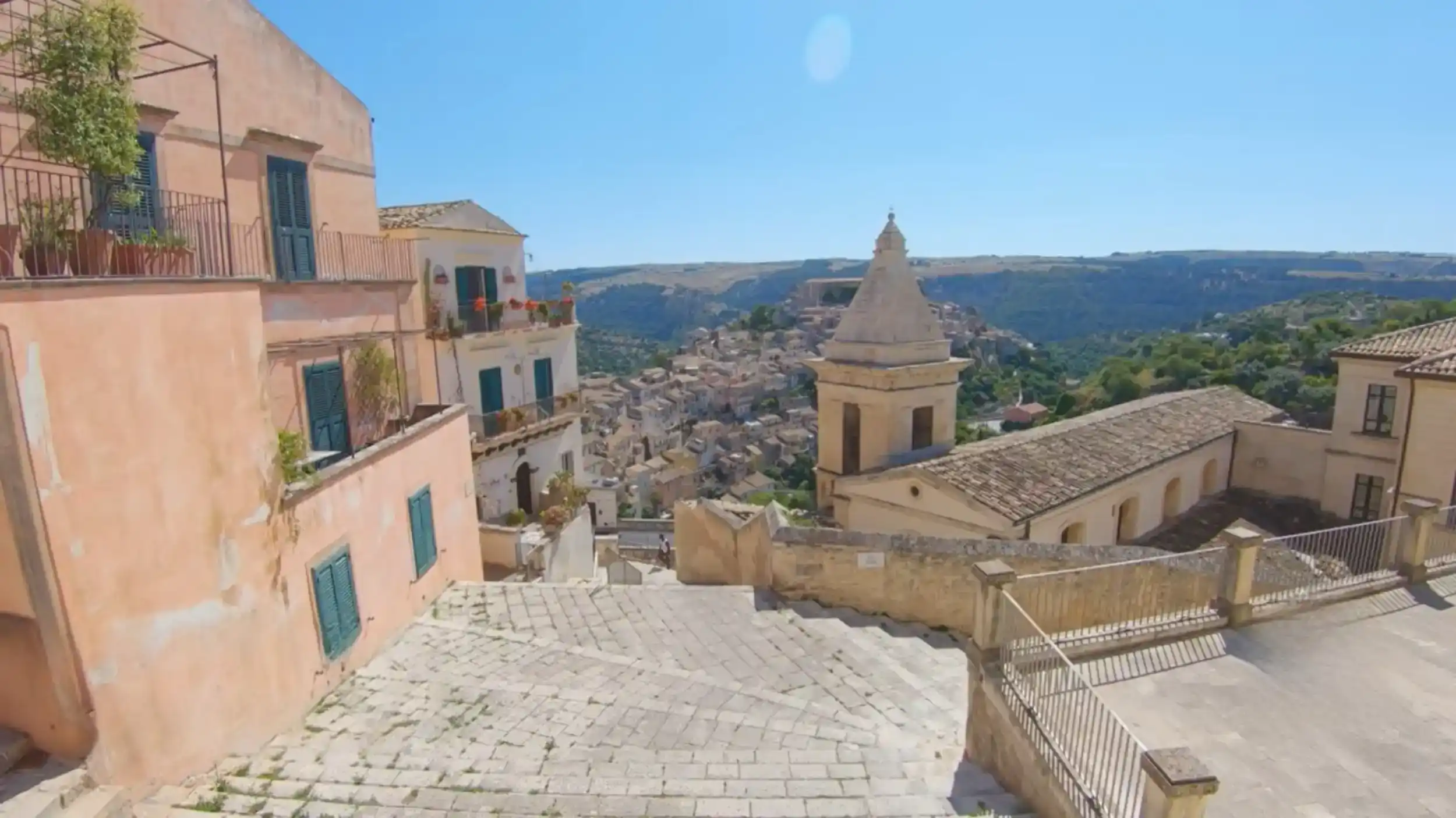
Ragusa valley is where the city’s unusual layout becomes easiest to understand. I would not think of it as one single attraction with a gate or entrance. Ragusa sits among several deep limestone ravines in southeastern Sicily’s Hyblaean landscape, with valleys including Santa Domenica and San Leonardo cutting through and around the city. From the viewpoints above them, the physical divide between Ragusa Superiore and historic Ibla becomes immediately visible, with separate ridges explaining why walking through Ragusa involves so many stairways and dramatic changes in elevation.
For us, seeing that wider landscape before exploring the streets made a real difference. Once we started walking, the steep routes and hillside buildings no longer felt like isolated features; we could place them within the valley we had just seen from above.
🚗 Why the Approach to Ragusa Valley Is Part of the Experience
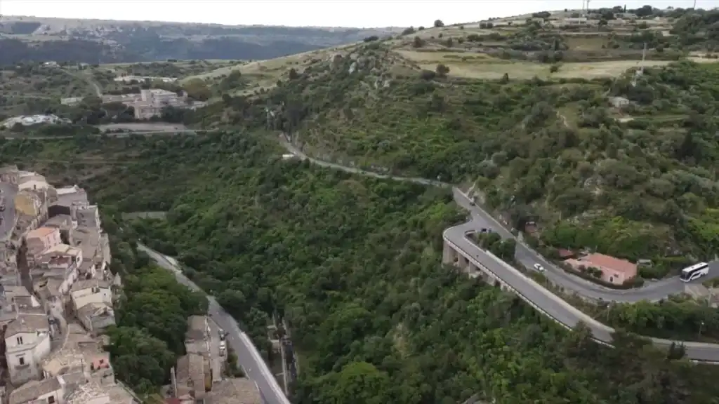
We approached Ragusa by car, and the contrast was what made the arrival memorable. The Hyblaean countryside initially felt relatively understated, with farmland, stone walls and scattered villages, before the landscape opened and the Ragusa valley appeared below.
That sudden change gave us a much stronger first impression than simply arriving among the streets would have done.
The easiest way for us to reach the wider Ragusa valley landscape was simply to drive into Ragusa. The roads from Comiso, Modica and Catania bring you onto the plateau and towards the city, with the ravines appearing during the final approach. A car gets you to the viewpoints and trail access areas, but the historic valley paths themselves are walking territory rather than scenic drives along the valley floor.
The Final Kilometres Reveal Ragusa’s Unusual Setting
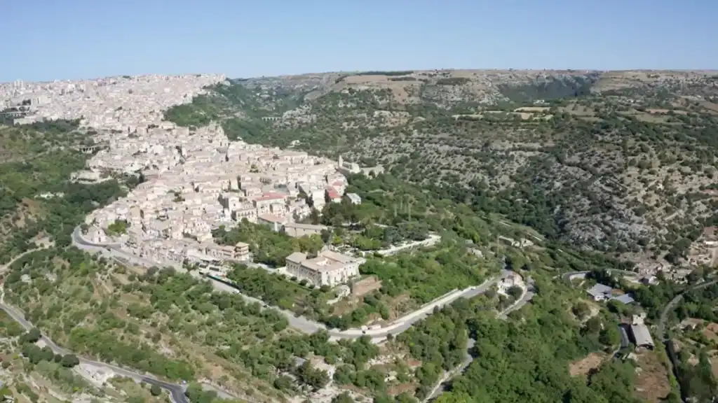
Whether approaching from Comiso, Catania or nearby Modica, the final kilometres are where the setting becomes clear. The road climbs and Ragusa begins to appear across separate ridges, making it obvious before you arrive that this is not a conventional compact hill town.
| 🚗 Getting to Ragusa | 📌 What We Found |
|---|---|
| ✈️ Comiso Airport | Around 20 minutes by car |
| ✈️ Catania Airport | Around 90 minutes by car |
| 🚙 Car hire | The easiest way to explore the region |
| 🌄 Final approach | The valley view explains the city’s layout |
Don’t Drive Straight Past the First Big View
It would be easy to concentrate on reaching Ibla and miss the moment when the landscape explains the city for you. Our guide to driving to Ragusa looks more closely at the approach. We would make time for the wider view before entering either district because it establishes the relationship between Ibla and Superiore immediately.
Where Would We Go for the Best Ragusa Valley View?
If I wanted one viewpoint that explained Ragusa rather than simply showing me a pretty ravine, I would favour the upper-city side around Santa Maria delle Scale and Corso Mazzini. From there, Ibla drops away across the valley and I can read the relationship between the ridges, historic buildings and surrounding landscape in one view. For a different perspective, Giardino Ibleo gives us views outward from Ibla towards the valleys beyond.
👀 What the Ragusa Valley View Actually Explains
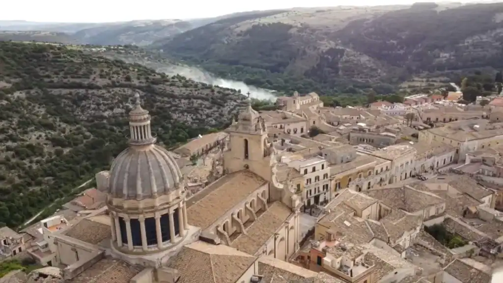
The Ragusa valley explained the city to us more clearly than looking at a map. From above, Ibla occupies its own limestone ridge while Ragusa Superiore sits on separate higher ground beyond the deep valley. Seeing both at once makes the physical separation impossible to miss.
We understood the basic geography before we knew all of the history behind it, which made the later walk between the two districts much easier to put into context.
Why the Two Halves Suddenly Make Sense
Standing above the valley showed us that the gap between the ridges is not simply attractive scenery. It shaped how Ragusa developed, how people moved between its districts and why Ibla and Superiore acquired such different identities after the 1693 earthquake.
| 👀 From the Valley | 📌 What It Shows |
|---|---|
| 🏰 Ragusa Ibla | Historic Baroque town on its own ridge |
| 🏙️ Ragusa Superiore | Upper town on higher ground |
| 🌉 Deep valley | Separates the two districts |
| 📸 Wide panorama | Reveals the city’s unique layout |
A Viewpoint Changes the Walk That Follows
Once we had seen the city from across the valley, walking through it felt different because we already understood where the two halves sat in relation to each other. Our guide to Ragusa’s history, food and local character adds the wider story behind the architecture and landscape we were looking at.
Would We Hike Through the Ragusa Valleys?
Yes. Ragusa is much better for walking than the broad viewpoint alone suggests. The ravines contain old mule tracks, limestone paths, archaeological traces, former quarry workings and routes that connect the upper city with Ibla. Santa Domenica is the most obvious urban valley walk, while San Leonardo and the valleys north of Ibla offer a more rugged hiking experience.
I would not give one walking time for “Ragusa Valley” because there is no single valley route. A short connecting path can take well under an hour, while a proper valley hike can occupy several hours. The current Ecomuseo routes include short sections of around 640–700 metres as well as longer linked walks, so I would choose the route first and then allow time for the climbs back out of the ravine.
Access also needs checking before we set out. These are public walking landscapes, but individual paths can close for improvement works. In 2026, Ecomuseo CARAT lists Santa Domenica as accessible only from the Dalla Chiesa and Carmine entrances because work is in progress. I would therefore check the current trail status rather than assume every historic entrance is open.
🏘️ How Ibla Feels Different Once You’re Down in the Streets
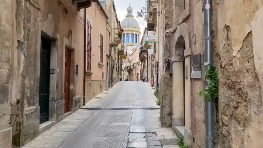
Our first impression inside Ibla was completely different from the panorama above the Ragusa valley. The broad view disappeared almost immediately and our attention shifted to narrow lanes, worn limestone buildings and architectural details that were impossible to appreciate from a distance.
That change of scale was part of what made exploring both perspectives worthwhile.
Carved Balconies and Doorways Replace the Panorama
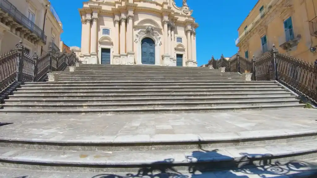
At street level, we found ourselves noticing carved balconies, weathered stone doorways and the changing colour of the limestone as light moved through the lanes. The Cathedral of San Giorgio became the obvious focal point, but the quieter corners and hidden staircases gave us reasons to keep wandering beyond the main square.
Down in the valleys, I would look for a different layer of Ragusa: old water mills, cave tombs, limestone quarries, lime kilns, mule tracks and the bridges crossing the ravines. Santa Domenica preserves evidence of the agricultural and stone-working activity that once filled the valley, while San Leonardo adds old routes and mill remains. That human history is what stops the landscape feeling like scenery around the Baroque city.
| 🏘️ Exploring Ibla | 📌 Why We Would Stop |
|---|---|
| ⛪ San Giorgio | The architectural centrepiece |
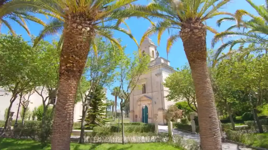
| 🌳 Giardino Ibleo | Peaceful gardens overlooking the valley |
| 🪜 Historic lanes | Best explored on foot |
| 🧱 Limestone details | The character of the old town |
The Streets Add What the Valley View Cannot
For us, the two experiences worked together rather than competing. The valley gave us the big picture; walking through Ibla supplied the atmosphere and finer detail. Our Baroque Ragusa guide continues beyond these streets into the wider area, including the coast and nearby Modica.
⏳ How Long We Would Allow for Ragusa Valley and Ibla
We would allow two days if the aim is to understand Ragusa rather than simply see its headline sights. The first view across the Ragusa valley establishes the layout, but walking Ibla, moving between the two districts and seeing the landscape again in different light adds far more than a quick arrival-and-departure visit can provide.
Two days also removes the pressure to treat every viewpoint or street as something to tick off before moving on.
Morning and Late Afternoon Show Different Sides of the Valley
Morning light gave the valley a clarity that helped us read the relationship between Ibla and Superiore. Later in the day, warmer light across the limestone changed the appearance of the same buildings. If possible, we would see the wider view at more than one point in the day rather than regard it as a single photo stop.
When Would We Walk the Ragusa Valley?
For hiking, I would choose spring or autumn rather than the hottest part of summer. The cooler temperatures make the descents and climbs more comfortable, while spring gives the valleys more greenery. Summer can still work if I start early or walk later in the day, but I would not choose the middle of a hot afternoon for a route that drops into a ravine and then asks me to climb back out.
| ⏳ Planning Your Visit | 📌 Our Approach |
|---|---|
| 📅 Stay at least two days | Time to experience both districts |
| 🌅 Morning | Best for understanding the valley layout |
| ☀️ Late afternoon | Warmer light across the limestone |
| 🚶 Explore on foot | The best way to appreciate the city |
One Perspective Isn’t Enough to Understand Ragusa
The valley gave us the scale and geography; the streets supplied the detail. Experiencing both was what turned Ragusa from a collection of Baroque sights into a city whose unusual shape we could actually understand.
If you’re arriving by car, our Ragusa driving guide explains how to make the approach part of the visit rather than treating it simply as the journey before the sightseeing starts.
❓ Ragusa Valley: Quick Question
Are There Guided Tours of the Ragusa Valleys?
Yes, but I would look for a tour of a specific valley rather than search for one generic “Ragusa Valley” tour. Local organisations run guided walks and trekking events in the ravines around Ragusa, including San Leonardo and other Hyblaean valleys, while Cava Gonfalone has organised guided visits. These are often scheduled on particular dates, so I would check the current programme before our trip.